Portocamiño
| Gemeinde Negreira: Portocamiño | |||
|---|---|---|---|
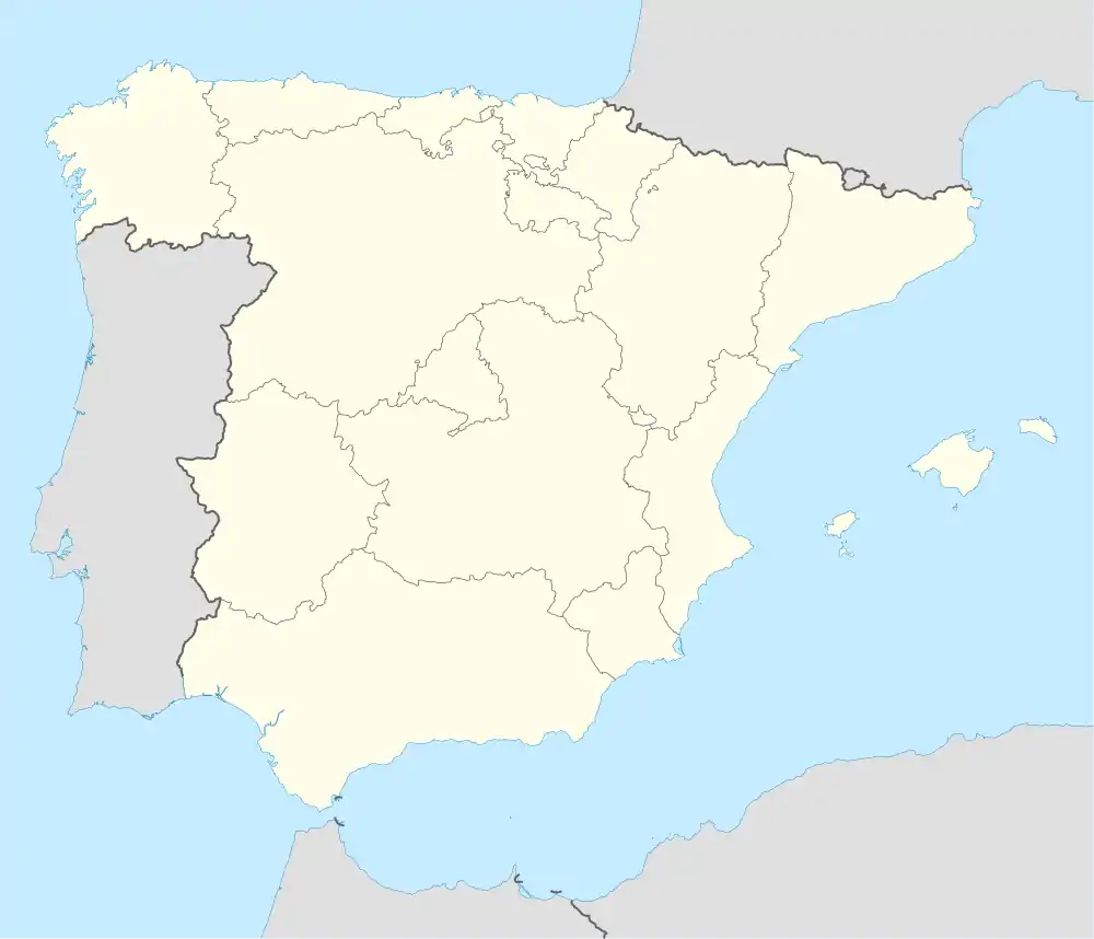
| Wappen | Karte von Spanien | ||
| ? Hilfe zu Wappen |
| ||
| Basisdaten | |||
| Autonome Gemeinschaft: | |||
| Provinz: | A Coruña | ||
| Koordinaten | 42° 56′ N, 8° 49′ W | ||
| Einwohner: | 57 (2011)INE | ||
| Postleitzahl: | 15830 | ||
| Ortskennzahl: | 15056130400 | ||
| Amtssprache: | Kastilisch, Galicisch | ||
Portocamiño ist ein Dorf in der Provinz A Coruña der Autonomen Gemeinschaft Galicien in Spanien. Es liegt am verlängerten Jakobsweg, dem Camino a Fisterra, und ist administrativ von Negreira abhängig.
Quellen
- Bevölkerungsstatistik der Ortschaften in Spanien des Instituto Nacional de Estadística (span./engl., Ortschaftscode 15-056-13-04-00)
Weblinks
This article is issued from Wikipedia. The text is licensed under Creative Commons - Attribution - Sharealike. The authors of the article are listed here. Additional terms may apply for the media files, click on images to show image meta data.

