Lac-Saint-Jean-Est
Lac-Saint-Jean-Est ist eine regionale Grafschaftsgemeinde (französisch municipalités régionales de comté, MRC) in der kanadischen Provinz Québec.
| Municipalité régionale de comté Lac-Saint-Jean-Est | |
|---|---|
| Staat | Kanada |
| Provinz | Québec |
| Verwaltungsregion | Saguenay–Lac-Saint-Jean |
| Hauptort | Alma |
| Einwohner | 52.741 (2016)[1] |
| Fläche | 2.779,97 km² |
| Bevölkerungsdichte | 19,0 Einw./km² |
| Gründung | 1. Januar 1982 |
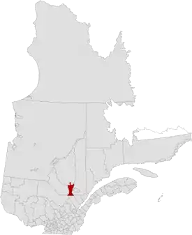 | |
Sie liegt in der Verwaltungsregion Saguenay–Lac-Saint-Jean und besteht aus 18 untergeordneten Verwaltungseinheiten (drei Städte, neun Gemeinden, ein Dorf, ein Sprengel und vier gemeindefreie Gebiete). Die MRC wurde am 1. Januar 1982 gegründet.[2] Der Hauptort ist Alma. Die Einwohnerzahl beträgt 52.741 (Stand: 2016) und die Fläche 2.779,97 km², was einer Bevölkerungsdichte von 19,0 Einwohnern je km² entspricht.
Gliederung
Stadt (ville)
- Alma
- Desbiens
- Métabetchouan–Lac-à-la-Croix
Gemeinde (municipalité)
- Hébertville
- Labrecque
- Lamarche
- Saint-Bruno
- Saint-Gédéon
- Saint-Henri-de-Taillon
- Saint-Ludger-de-Milot
- Saint-Nazaire
- Sainte-Monique
Dorf (municipalité de village)
- Hébertville-Station
Sprengel (municipalité de paroisse)
- L’Ascension-de-Notre-Seigneur
Gemeindefreies Gebiet (territoire non-organisé)
- Belle-Rivière
- Lac-Achouakan
- Lac-Moncouche
- Mont-Apica
Angrenzende MRC und vergleichbare Gebiete
Weblinks
Commons: Lac-Saint-Jean-Est – Sammlung von Bildern, Videos und Audiodateien
Einzelnachweise
- Statistics Canada: Census Profile, 2016 Census – Lac-Saint-Jean-Est, Municipalité régionale de comté (Census division), Quebec and Quebec (Province), abgerufen am 4. Juni 2021
- Lac-Saint-Jean-Est. Commission de toponymie du Québec
This article is issued from Wikipedia. The text is licensed under Creative Commons - Attribution - Sharealike. The authors of the article are listed here. Additional terms may apply for the media files, click on images to show image meta data.