La Sal
Die Ortschaft La Sal liegt im County San Juan im US-Bundesstaat Utah, am Fuße des Manti La Sal National Forest.
| La Sal | |||
|---|---|---|---|
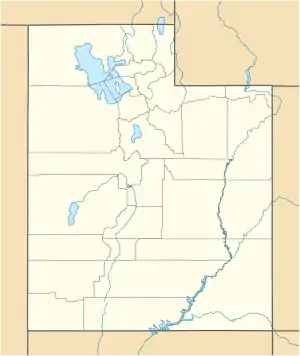
Lage in Utah | |||
| Basisdaten | |||
| Gründung: | 1930 | ||
| Staat: | Vereinigte Staaten | ||
| Bundesstaat: | Utah | ||
| County: | San Juan County | ||
| Koordinaten: | 38° 18′ N, 109° 16′ W | ||
| Zeitzone: | Mountain (UTC−7/−6) | ||
| Einwohner: | 339 (Stand: 2000) | ||
| Fläche: | 119,1 km² (ca. 46 mi²) davon 118,7 km² (ca. 46 mi²) Land | ||
| Höhe: | 2127 m | ||
| Postleitzahl: | 84530 | ||
| Vorwahl: | +1 435 | ||
| FIPS: | 49-43110 | ||
| GNIS-ID: | 1442376 | ||
La Sal hat 339 (2000) Einwohner auf einer Fläche von 118 km². Die Stadt liegt in der Nähe des Flusses Colorado und des Canyonlands-Nationalpark. Sie liegt auf einer Höhe von 2171 m. ü. M.
Der Name La Sal stammt von spanischen Siedlern, die die Berge 'Sierra de la Sal' nannten – Salzberge.
Weblinks
Commons: La Sal – Sammlung von Bildern, Videos und Audiodateien
This article is issued from Wikipedia. The text is licensed under Creative Commons - Attribution - Sharealike. The authors of the article are listed here. Additional terms may apply for the media files, click on images to show image meta data.