Gonzales (Kalifornien)
Gonzales ist eine US-amerikanische Stadt im Monterey County im Bundesstaat Kalifornien.
| Gonzales | |||
|---|---|---|---|
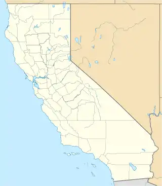
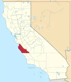
Lage in Kalifornien | |||
| Basisdaten | |||
| Gründung: | 14. Januar 1947 | ||
| Staat: | Vereinigte Staaten | ||
| Bundesstaat: | Kalifornien | ||
| County: | Monterey County | ||
| Koordinaten: | 36° 31′ N, 121° 27′ W | ||
| Zeitzone: | Pacific (UTC−8/−7) | ||
| Einwohner: | 8.647 (Stand: 2020) | ||
| Fläche: | 3,7 km² (ca. 1 mi²) davon 3,6 km² (ca. 1 mi²) Land | ||
| Höhe: | 41 m | ||
| Postleitzahl: | 93926 | ||
| Vorwahl: | +1 831 | ||
| FIPS: | 06-30392 | ||
| GNIS-ID: | 1659726 | ||
| Website: | gonzalesca.gov | ||
Sie hat etwa 8700 Einwohner (Stand: 2004) und befindet sich bei den geographischen Koordinaten 36,51° Nord, 121,44° West. Das Stadtgebiet hat eine Größe von 3,7 km².
Weblinks
| Cities |
Carmel-by-the-Sea | Del Rey Oaks | Gonzales | Greenfield | King City | Marina | Monterey | Pacific Grove | Salinas | Sand City | Seaside | Soledad |
 |
| CDPs |
Aromas | Boronda | Bradley | Carmel Valley Village | Castroville | Chualar | Del Monte Forest | Elkhorn | Las Lomas | Lockwood | Moss Landing | Pajaro | Pine Canyon | Prunedale | San Ardo | San Lucas | Spreckels | |
| Unincorporated communities |
Ambler Park | Bryson | Carmel Highlands | Corral de Tierra | Gorda | Jamesburg | Jolon | Lucia | Millers Ranch | Notleys Landing | Old Hilltown | Pacific Grove Acres | Parkfield | Plaskett | Posts | Robles Del Rio | San Benancio | Slates Hot Springs | Springtown | Sycamore Flat | Tassajara Hot Springs | White Rock |