Gmina Szumowo
Die Gmina Szumowo ist eine Landgemeinde im Powiat Zambrowski der Woiwodschaft Podlachien in Polen. Ihr Sitz ist das gleichnamige Dorf mit etwa 1080 Einwohnern.
| Gmina Szumowo | |||
|---|---|---|---|
| ? |
| ||
| Basisdaten | |||
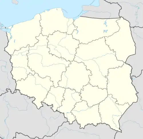
| Staat: | Polen | ||
| Woiwodschaft: | Podlachien | ||
| Powiat: | Zambrowski | ||
| Geographische Lage: | 52° 55′ N, 22° 5′ O | ||
| Einwohner: | siehe Gmina | ||
| Postleitzahl: | 18-305 | ||
| Telefonvorwahl: | (+48) 86 | ||
| Kfz-Kennzeichen: | BZA | ||
| Gmina | |||
| Gminatyp: | Landgemeinde | ||
| Gminagliederung: | 19 Schulzenämter | ||
| Fläche: | 141,15 km² | ||
| Einwohner: | 4759 (31. Dez. 2020)[1] | ||
| Bevölkerungsdichte: | 34 Einw./km² | ||
| Gemeindenummer (GUS): | 2014042 | ||
| Adresse: | ul. 1 Maja 50 18-305 Szumowo | ||

Gliederung
Zur Landgemeinde Szumowo gehören 19 Dörfer mit einem Schulzenamt:
- Głębocz Wielki
- Kaczynek
- Kalinowo
- Krajewo-Budziły
- Łętownica
- Ostrożne
- Paproć Duża
- Paproć Mała
- Pęchratka Polska
- Radwany-Zaorze
- Rynołty
- Srebrna
- Srebrny Borek
- Stryjki
- Szumowo
- Wyszomierz Wielki
- Zaręby-Jartuzy
- Żabikowo Prywatne
- Żabikowo Rządowe
Ein weiterer Ort der Gemeinde ist Mroczki-Stylongi.
Fußnoten
- Population. Size and Structure by Territorial Division. As of December 31, 2020. Główny Urząd Statystyczny (GUS) (PDF-Dateien; 0,72 MB), abgerufen am 12. Juni 2021.
This article is issued from Wikipedia. The text is licensed under Creative Commons - Attribution - Sharealike. The authors of the article are listed here. Additional terms may apply for the media files, click on images to show image meta data.