Gmina Radomyśl nad Sanem
Die Gmina Radomyśl nad Sanem ist eine Landgemeinde im Powiat Stalowowolski der Woiwodschaft Karpatenvorland in Polen. Ihr Sitz ist das gleichnamige Dorf (bis 2001 Radomyśl) mit etwa 800 Einwohnern.
| Gmina Radomyśl nad Sanem | |||
|---|---|---|---|
 |
| ||
| Basisdaten | |||
| Staat: | Polen | ||
| Woiwodschaft: | Karpatenvorland | ||
| Powiat: | Stalowowolski | ||
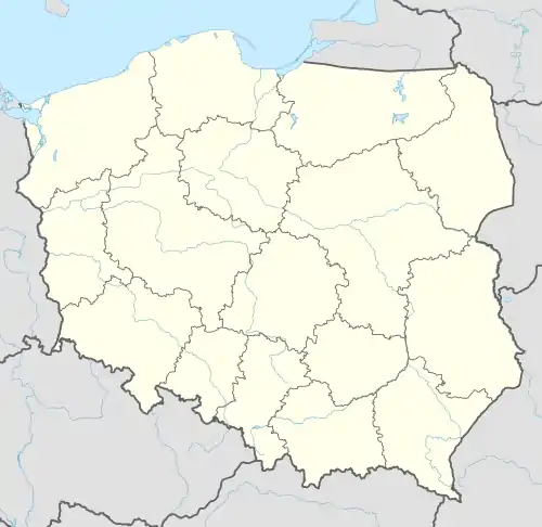
| Geographische Lage: | 50° 41′ N, 21° 57′ O | ||
| Einwohner: | siehe Gmina | ||
| Postleitzahl: | 37-455 | ||
| Telefonvorwahl: | (+48) 15 | ||
| Kfz-Kennzeichen: | RST | ||
| Gmina | |||
| Gminatyp: | Landgemeinde | ||
| Gminagliederung: | 16 Schulzenämter | ||
| Fläche: | 133,63 km² | ||
| Einwohner: | 7331 (31. Dez. 2020)[1] | ||
| Bevölkerungsdichte: | 55 Einw./km² | ||
| Gemeindenummer (GUS): | 1818042 | ||
| Verwaltung | |||
| Adresse: | ul. Rynek Duży 7 37-455 Radomyśl nad Sanem | ||
| Webpräsenz: | www.radomysl.pl | ||
Gliederung
Zur Landgemeinde (gmina wiejska) Radomyśl nad Sanem gehören folgende Dörfer:
- Antoniów
- Chwałowice
- Czekaj Pniowski
- Dąbrowa Rzeczycka
- Dąbrówka Pniowska
- Kępa Rzeczycka
- Łążek Chwałowski
- Musików
- Nowiny
- Orzechów
- Ostrówek
- Pniów
- Radomyśl nad Sanem
- Rzeczyca Długa
- Rzeczyca Okrągła
- Witkowice
- Wola Rzeczycka
- Zalesie
- Żabno
Literatur
- Radomyśl on the San, in: Guy Miron (Hrsg.): The Yad Vashem encyclopedia of the ghettos during the Holocaust. Jerusalem : Yad Vashem, 2009 ISBN 978-965-308-345-5, S. 637
Einzelnachweise
- Population. Size and Structure by Territorial Division. As of December 31, 2020. Główny Urząd Statystyczny (GUS) (PDF-Dateien; 0,72 MB), abgerufen am 12. Juni 2021.
This article is issued from Wikipedia. The text is licensed under Creative Commons - Attribution - Sharealike. The authors of the article are listed here. Additional terms may apply for the media files, click on images to show image meta data.