Cagayancillo
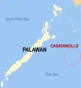
Cagayancillo ist eine philippinische Stadtgemeinde in der Provinz Palawan. Sie hat 6285 Einwohner (Zensus 1. August 2015). Zur Gemeinde gehören neben der Hauptinsel Cagayan unter anderem auch Calusa Island (18 Kilometer im Westen, zum Barangay Magsaysay gehörig), und das 123 Kilometer südwestlich gelegene Tubbataha-Riff.[1]
| Municipality of Cagayancillo | |||
| Lage von Cagayancillo in der Provinz Palawan | |||
|---|---|---|---|
 | |||
| Basisdaten | |||
| Region: | Western Visayas | ||
| Provinz: | Palawan | ||
| Barangays: | 12 | ||
| Distrikt: | 1. Distrikt von Palawan | ||
| PSGC: | 175308000 | ||
| Einkommensklasse: | 5. Einkommensklasse | ||
| Haushalte: | 947 Zensus 1. Mai 2000 | ||
| Einwohnerzahl: | 6.285 Zensus 1. August 2015 | ||
| Bevölkerungsdichte: | 238,2 Einwohner je km² | ||
| Fläche: | 26,39 km² | ||
| Koordinaten: | 9° 35′ N, 121° 12′ O | ||
| Postleitzahl: | 5321 | ||
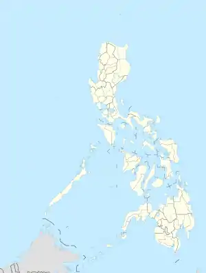
| Geographische Lage auf den Philippinen | |||
| |||
Baranggays
Cagayancillo ist politisch in zwölf Baranggays unterteilt.
|
|
|
Einzelnachweise
- Administrative Map (Seite nicht mehr abrufbar, Suche in Webarchiven) Info: Der Link wurde automatisch als defekt markiert. Bitte prüfe den Link gemäß Anleitung und entferne dann diesen Hinweis.
Weblinks
This article is issued from Wikipedia. The text is licensed under Creative Commons - Attribution - Sharealike. The authors of the article are listed here. Additional terms may apply for the media files, click on images to show image meta data.
