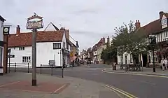
Buntingford
Buntingford ist eine Kleinstadt und ein Civil parish im Distrikt East Hertfordshire der englischen Grafschaft Hertfordshire. Sie ist die kleinste Stadt der Grafschaft und liegt am Fluss Rib.
| Buntingford | |||
|---|---|---|---|
 Buntingford | |||
| Koordinaten | 51° 57′ N, 0° 1′ W | ||
| OS National Grid | TL363292 | ||
| |||
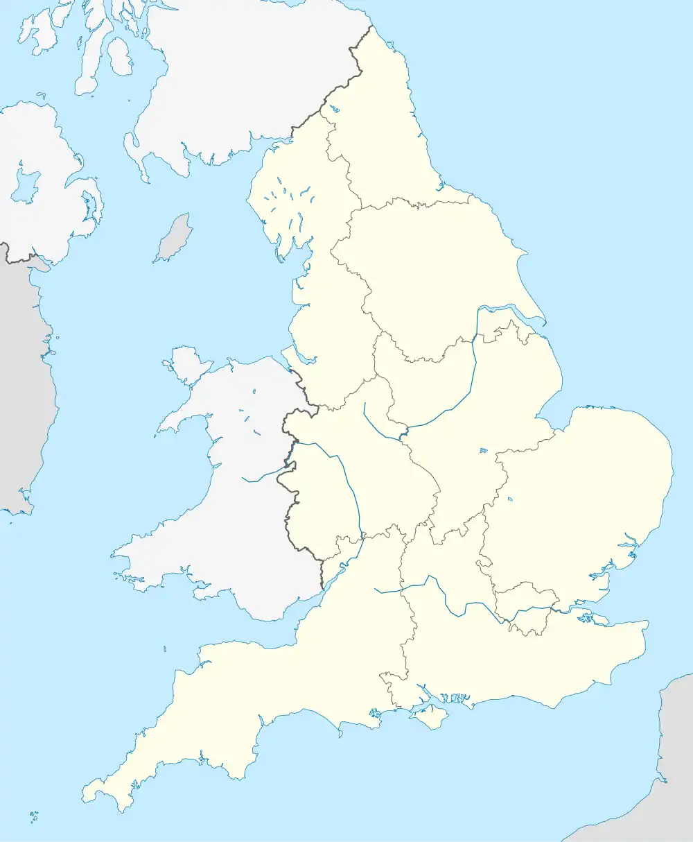
| Traditionelle Grafschaft | Hertfordshire | ||
| Einwohner | 4948 (Stand: 2011) | ||
| Verwaltung | |||
| Post town | Buntingford | ||
| Postleitzahlenabschnitt | SG9 | ||
| Vorwahl | 01763 | ||
| Landesteil | England | ||
| Region | East of England | ||
| Shire county | Hertfordshire | ||
| District | East Hertfordshire | ||
| Civil Parish | Buntingford | ||
| Britisches Parlament | North East Hertfordshire | ||
Östlich von Buntingford verläuft der Nullmeridian.
Städtepartnerschaften
Buntingford unterhält folgende Städtepartnerschaften:
Weblinks
- Buntingford Town Council (englisch)
This article is issued from Wikipedia. The text is licensed under Creative Commons - Attribution - Sharealike. The authors of the article are listed here. Additional terms may apply for the media files, click on images to show image meta data.