Ayau-Inseln
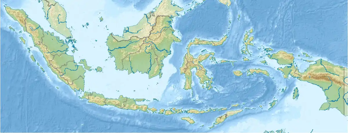
Die Ayau-Inseln, auch als Ayu-Inseln (indonesisch Pulau-pulau Ayu)[1] bekannt, sind eine indonesische Inselgruppe im Norden des Raja-Ampat-Archipels.
| Ayau-Inseln | ||
|---|---|---|
| Gewässer | Halmaherasee | |
| Archipel | Raja Ampat | |
| Geographische Lage | 0° 28′ N, 131° 7′ O | |
| ||
| Anzahl der Inseln | ca. 10 | |
| Hauptinsel | Ayau | |
Die Gruppe besteht aus etwa zehn Inseln, die von zwei nahegelegenen Korallenriffen umgeben sind. Die gleichnamige Hauptinsel Ayau liegt im Süden der Inselgruppe. Administrativ bildet die Hauptinsel einen eigenen Distrikt (Kabupaten), während die anderen Inseln als Distrikt Ayauinseln (Kepulauan Ayau) zusammengefasst werden.
Inseln
![]() Karte mit allen Koordinaten: OSM | WikiMap
Karte mit allen Koordinaten: OSM | WikiMap
Unvollständige Liste der Inseln:
| Inselname | Aliasname | Koordinaten | Fläche | Einwohner |
|---|---|---|---|---|
| Ayau | Ayu | 00° 22′ N, 131° 03′ O | … | ... |
| Mios Kuan | 00° 24′ N, 131° 08′ O | … | ... | |
| Baba | 00° 24′ N, 130° 58′ O | … | ... | |
| Abdon | 00° 30′ N, 131° 07′ O | … | ... | |
| Rutton | 00° 34′ N, 131° 11′ O | … | ... | |
| Reni | 00° 35′ N, 131° 12′ O | … | ... | |
| Kanobe | 00° 36′ N, 131° 08′ O | … | ... | |
| Pandaranger | 00° 37′ N, 131° 07′ O | … | ... | |
| Mios Mandung | 00° 37′ N, 131° 07′ O | … | ... |
This article is issued from Wikipedia. The text is licensed under Creative Commons - Attribution - Sharealike. The authors of the article are listed here. Additional terms may apply for the media files, click on images to show image meta data.
