Abragão
Abragão ist ein Ort (Vila) im Norden Portugals.
| Abragão | ||||||
|---|---|---|---|---|---|---|
| ||||||
| Basisdaten | ||||||
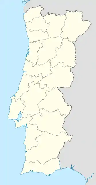
| Region: | Norte | |||||
| Unterregion: | Tâmega e Sousa | |||||
| Distrikt: | Porto | |||||
| Concelho: | Penafiel | |||||
| Koordinaten: | 41° 10′ N, 8° 14′ W | |||||
| Einwohner: | 2341 (Stand: 30. Juni 2011)[1] | |||||
| Fläche: | 9,53 km² (Stand: 1. Januar 2010)[2] | |||||
| Bevölkerungsdichte: | 246 Einwohner pro km² | |||||

Abragão gehört zum Kreis Penafiel im Distrikt Porto, besitzt eine Fläche von 9,5 km² und hat 2341 Einwohner (Stand 30. Juni 2011). Die Erhebung der Freguesia in den Stand einer Vila erfolgte am 12. Juli 2001.
Einzelnachweise
- www.ine.pt – Indikator Resident population by Place of residence and Sex; Decennial in der Datenbank des Instituto Nacional de Estatística
- Übersicht über Code-Zuordnungen von Freguesias auf epp.eurostat.ec.europa.eu
Weblinks
Commons: Abragão – Sammlung von Bildern, Videos und Audiodateien
- Karte der Freguesia Abragão beim Instituto Geográfico do Exército
Freguesias im Concelho Penafiel
Abragão | Boelhe | Bustelo | Cabeça Santa | Canelas | Capela | Castelões | Croca | Duas Igrejas | Eja | Fonte Arcada | Galegos | Guilhufe e Urrô | Irivo | Lagares e Figueira | Luzim e Vila Cova | Oldrões | Paço de Sousa | Penafiel | Perozelo | Rans | Rio de Moinhos | Rio Mau | São Mamede de Recezinhos | São Martinho de Recezinhos | Sebolido | Termas de São Vicente | Valpedre
This article is issued from Wikipedia. The text is licensed under Creative Commons - Attribution - Sharealike. The authors of the article are listed here. Additional terms may apply for the media files, click on images to show image meta data.