Whapmagoostui
Whapmagoostui („Ort der Weißwale“ in der Sprache der Cree) ist die nördlichste Cree-Indianer-Siedlung der Provinz Québec.
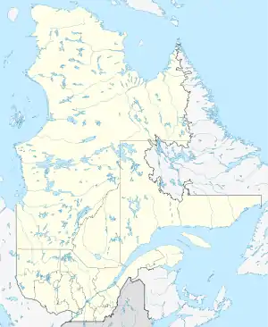
| Whapmagoostui | |||
|---|---|---|---|
| Lage in Québec | |||
| |||
| Staat: | |||
| Provinz: | Québec | ||
| Koordinaten: | 55° 17′ N, 77° 46′ W | ||
| Fläche: | 189,88 km² | ||
| Einwohner: | 984 (Stand: 2016[1]) | ||
| Bevölkerungsdichte: | 5,2 Einw./km² | ||
| Zeitzone: | Eastern Time (UTC−5) | ||
| Postleitzahl: | J0M 1G0 | ||
| Website: | www.whapmagoostuifn.ca | ||
Sie wird von 984 Cree-Indianern bewohnt (Stand: 2016), die sich den Standort mit der etwa 650 Einwohner zählenden Inuit-Siedlung Kuujjuarapik („Kleiner bedeutender Fluss“ auf Inuktitut) teilen.
Whapmagoostui liegt an der Ostküste der Hudson Bay im Mündungsgebiet des Flusses Grande rivière de la Baleine („Great Whale River“ auf Englisch). Weitere Angaben sind unter Kuujjuarapik zu finden.
Weblinks
Einzelnachweise
This article is issued from Wikipedia. The text is licensed under Creative Commons - Attribution - Sharealike. The authors of the article are listed here. Additional terms may apply for the media files, click on images to show image meta data.