Weghausköchel
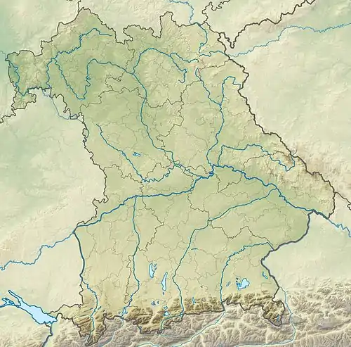
Der Weghausköchel ist eine 684 m hohe bewaldete Felskuppe in den Bayerischen Voralpen innerhalb des Naturschutzgebietes Murnauer Moos in Bayern. Zusammen mit Steinköchel, Wiesmahdköchel, Schmatzerlköchel und Langer Köchel erheben sich die Köchel wie Inseln aus dem Murnauer Moos.[1]
| Weghausköchel | ||
|---|---|---|

Weghausköchel höchster Punkt | ||
| Höhe | 684 m ü. NN | |
| Lage | Bayern, Deutschland | |
| Gebirge | Bayerische Voralpen | |
| Dominanz | 1,1 km → Steinköchel | |
| Schartenhöhe | 57 m | |
| Koordinaten | 47° 37′ 33″ N, 11° 9′ 47″ O | |
| ||
Weblinks
Weghausköchel auf openstreetmap.org
This article is issued from Wikipedia. The text is licensed under Creative Commons - Attribution - Sharealike. The authors of the article are listed here. Additional terms may apply for the media files, click on images to show image meta data.
