Wall (South Dakota)
Wall (Lakota: Makȟóšiča Aglágla Otȟuŋwahe) ist eine Town im Pennington County, South Dakota in den Vereinigten Staaten mit gut 750 Einwohnern.
| Wall | |
|---|---|
 | |
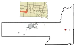
| Lage im County und in South Dakota | |
 | |
| Basisdaten | |
| Gründung: | 1908 |
| Staat: | Vereinigte Staaten |
| Bundesstaat: | South Dakota |
| County: | Pennington County |
| Koordinaten: | 44° 0′ N, 102° 14′ W |
| Zeitzone: | Mountain (UTC−7/−6) |
| Einwohner: | 766 (Stand: 2010) |
| Fläche: | 5,7 km² (ca. 2 mi²) davon 5,6 km² (ca. 2 mi²) Land |
| Höhe: | 861 m |
| Postleitzahl: | 57790 |
| Vorwahl: | +1 605 |
| FIPS: | 46-68380 |
| GNIS-ID: | 1262653 |
| Website: | www.wallsd.us |
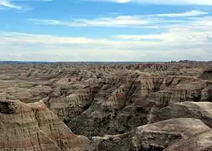 Badlands-Nationalpark | |
Der Ort liegt ca. 10 km nördlich des Badlands-Nationalparks an der Teilung der U.S. Highway 14 von der Interstate 90.
Weblinks
Commons: Wall (South Dakota) – Sammlung von Bildern, Videos und Audiodateien
- Wall Badlands Area Chamber of Commerce Touristische Informationen (englisch)
- Badlands-Nationalpark (englisch)
This article is issued from Wikipedia. The text is licensed under Creative Commons - Attribution - Sharealike. The authors of the article are listed here. Additional terms may apply for the media files, click on images to show image meta data.