Vanil d’Arpille
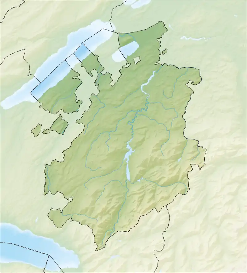
Der Berg Vanil d'Arpille (dt. Maischüpfenspitz) hat eine Höhe von 2'085 Metern. Er liegt im Norden des Jauntales im Schweizerischen Kanton Freiburg und westlich des Euschelspasses und des Schopfenspitzes. Über seinen Gipfel verläuft die Gemeindegrenze zwischen Val-de-Charmey und Jaun.
| Vanil d’Arpille | ||
|---|---|---|
.jpg.webp) | ||
| Höhe | 2085 m ü. M. | |
| Lage | Kanton Freiburg, Schweiz | |
| Gebirge | Freiburger Voralpen | |
| Dominanz | 0,88 km → Schopfenspitz (frz.Gros Brun) | |
| Schartenhöhe | 238 m ↓ unbenannte Scharte | |
| Koordinaten | 584849 / 162952 | |
| ||
Weblinks
Commons: Maischüpfenspitz (Vanil d'Arpille) – Sammlung von Bildern, Videos und Audiodateien
This article is issued from Wikipedia. The text is licensed under Creative Commons - Attribution - Sharealike. The authors of the article are listed here. Additional terms may apply for the media files, click on images to show image meta data.
