Union City (Michigan)
Union City ist ein Dorf (Village) im Branch County im US-Bundesstaat Michigan. Das Dorf ist ein Teil von der Battle Creek, Michigan Metropolitan Statistical Area. Die Bevölkerung betrug 1804 im Jahre 2000.
| Union City | |||
|---|---|---|---|
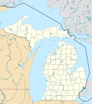
Lage in Michigan | |||
| Basisdaten | |||
| Staat: | Vereinigte Staaten | ||
| Bundesstaat: | Michigan | ||
| Countys: | Branch County Calhoun County | ||
| Koordinaten: | 42° 4′ N, 85° 8′ W | ||
| Zeitzone: | Eastern (UTC−5/−4) | ||
| Einwohner: | 1.714 (Stand: 2020) | ||
| Fläche: | 3,8 km² (ca. 1 mi²) davon 3,8 km² (ca. 1 mi²) Land | ||
| Höhe: | 276 m | ||
| Postleitzahl: | 49094 | ||
| Vorwahl: | +1 517 | ||
| FIPS: | 26-81360 | ||
| GNIS-ID: | 1615340 | ||
| Website: | www.liveinuc.com | ||
Das Dorf liegt in der Union Township, wo der Coldwater River in den St. Joseph River mündet. Der M-60 Highway verläuft im Norden des Dorfes. Ein kleiner Teil der Stadt liegt im Burlington Township im Calhoun County.
Geschichte
Die "Meteor Ridge Farm", auch bekannt als "Die Plantage" wurde im Jahre 1859 oder 1860 gebaut (das Jahr ist nicht genau bekannt). "Die Plantage" diente als Station der Underground Railroad. Sogar Präsident Lincoln hatte einmal das Dorf besucht.
Bekannte Personen des Dorfs
- Josh McDowell (* 1939), Evangelist, Apologet und Buchautor
Siehe auch
Weblinks
Commons: Union City (Michigan) – Sammlung von Bildern, Videos und Audiodateien
This article is issued from Wikipedia. The text is licensed under Creative Commons - Attribution - Sharealike. The authors of the article are listed here. Additional terms may apply for the media files, click on images to show image meta data.