Sunnybrook State Park
Sunnybrook State Park ist ein State Park im US-Bundesstaat Connecticut auf dem Gebiet der Gemeinde Torrington. Der Park bietet Möglichkeit zum Wandern, Angeln, Jagen und Picknicken entlang dem East Branch Naugatuck River.[2]
Sunnybrook State Park | ||
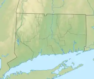
| Lage | Torrington, Litchfield County, USA[1] | |
| Fläche | 1,88 km² | |
| Geographische Lage | 41° 50′ N, 73° 7′ W | |
| ||
| Einrichtungsdatum | 1970 | |
| Verwaltung | Dept. of Energy & Environmental Protection, Connecticut State | |
Geographie
Der Park umfasst vor allem ein Hochwasserrückhaltebecken. In seinem Gebiet befindet sich das Südwest-Ende des blue-blazed John Muir Trail der auch den Paugnut State Forest durchquert und Anschluss zum Burr Pond State Park bietet.[3] Die Hügel im Westen des Parks steigen bis auf 1220 ft (372 m) über dem Meer an.[4]
Siehe auch
Einzelnachweise
- Geographic Names Information System. United States Geological Survey.
- Sunnybrook State Park. In: State Parks and Forests. Connecticut Department of Energy and Environmental Protection. Abgerufen am 5. Februar 2013.
- Paugnut State Forest: John Muir Trail. In: State Parks and Forests. Connecticut Department of Energy and Environmental Protection. Abgerufen am 16. April 2014.
- U.S. Geological Survey. The National Map
Weblinks
- Sunnybrook State Park Connecticut Department of Energy and Environmental Protection
- Ohranger.com
This article is issued from Wikipedia. The text is licensed under Creative Commons - Attribution - Sharealike. The authors of the article are listed here. Additional terms may apply for the media files, click on images to show image meta data.