Suess-Land
Suess-Land ist eine unbewohnte Region im Nordost-Grönland-Nationalpark.
| Suess-Land | ||
| Geographische Lage | ||
| ||
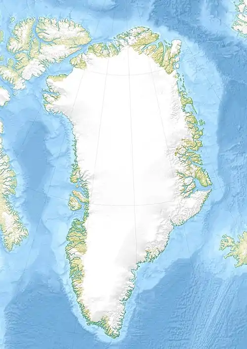
| Koordinaten | 72° 59′ N, 26° 20′ W | |
| Gewässer 1 | Kaiser-Franz-Joseph-Fjord/Antarctic-Sund | |
| Gewässer 2 | Kempefjord/Dicksonfjord | |
| Länge | 85 km | |
| Breite | 46 km | |
| Fläche | 2 400 km² | |
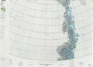 Kartenblatt von Ostgrönland mit SUESS LAND im Süden | ||
Geographie
Suess-Land ist eine Halbinsel im weitläufigen System des Kaiser-Franz-Joseph-Fjords, südlich von Andrée-Land und nördlich von Lyell-Land. Sie wird begrenzt vom Kaiser-Franz-Joseph-Fjord und Antarctic-Sund im Norden, vom Kempefjord und Dicksonfjord im Süden[1] sowie vom Kjerulffjord im Westen. Nordöstlich ist die Ymer-Insel vorgelagert, südöstlich die Inseln Ruth Ø, Maria Ø und Ella Ø.[2] Suess-Land ist von alpinem Charakter. Der höchste Gipfel ist die Payerspitze (dänisch Payer Tinde) im Norden der Halbinsel mit einer Höhe von 2320 m.[1] Das Innere Suess-Lands ist weitgehend vergletschert, die Küste aber nicht.
Etymologie
Der schwedische Polarforscher Alfred Gabriel Nathorst benannte die Halbinsel 1899 nach dem österreichischen Geologen Eduard Suess. Nathorst hatte eines seiner Bücher ins Schwedische übersetzt.[1]
Einzelnachweise
- Anthony K. Higgins: Exploration history and place names of northern East Greenland (= Geological Survey of Denmark and Greenland Bulletin 21, 2010), ISBN 978-87-7871-292-9 (englisch). S. 315 (englisch).
- Karte (PDF; 3,4 MB) von Nordostgrönland im Maßstab 1:1.000.000, De Nationale Geologiske Undersøgelser for Danmark og Grønland (GEUS).