Siassi-Inseln
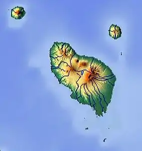
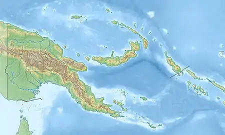
Die Siassi-Inseln sind eine Inselgruppe von Papua-Neuguinea im Westpazifik. Sie gehören zur Morobe Province und liegen im Westen des Bismarck-Archipels, etwa 55 Kilometer nordöstlich der Ostküste von Neuguinea und 35 Kilometer westlich der Insel Neubritannien.
| Siassi-Inseln | ||
|---|---|---|
 Reliefkarte der Siassi-Inseln | ||
| Gewässer | Bismarcksee | |
| Archipel | Bismarck-Archipel | |
| Geographische Lage | 5° 38′ S, 147° 55′ O | |
| ||
| Anzahl der Inseln | ca. 20 | |
| Hauptinsel | Umboi | |
| Gesamte Landfläche | 870 km² | |
Inseln
Die Inseln sind überwiegend vulkanischen Ursprungs; auf einigen befinden sich aktive Vulkane. Die mit Abstand größte ist Umboi; dort liegt auch die Hauptstadt Siassi.
Zu den Siassi-Inseln zählt man etwa 20 Inseln – zu den etwas größeren gehören:
![]() Karte mit allen Koordinaten: OSM | WikiMap
Karte mit allen Koordinaten: OSM | WikiMap
| Inselname | Fläche (km²) | Höhe in m | Geokoordinate |
| Umboi | 777,0 | 1.548 | 5° 38′ S, 147° 55′ O |
| Tolokiwa | 42,0 | 1.396 | 5° 19′ S, 147° 35′ O |
| Sakar | 34,0 | 950 | 5° 25′ S, 148° 5′ O |
| Tuam | 1,0 | 14 | 5° 57′ S, 148° 2′ O |
| Malai | 0,8 | 14 | 5° 54′ S, 147° 56′ O |
| Ritter | 0,3 | 140 | 5° 31′ S, 148° 7′ O |
Literatur
- Stichwort: Siassiinseln. Online in: Deutsches Kolonial-Lexikon, Band III, Leipzig 1920, S. 351.
This article is issued from Wikipedia. The text is licensed under Creative Commons - Attribution - Sharealike. The authors of the article are listed here. Additional terms may apply for the media files, click on images to show image meta data.
