Seymour (Connecticut)
Seymour ist eine Stadt im New Haven County im US-Bundesstaat Connecticut, Vereinigte Staaten, mit 16.300 Einwohnern (Stand: 2004). Die geographischen Koordinaten sind: 41,40° Nord, 73,08° West. Das Stadtgebiet hat eine Größe von 38,8 km².
| Seymour | |||
|---|---|---|---|
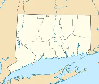
Lage in Connecticut | |||
| Basisdaten | |||
| Gründung: | 1850 | ||
| Staat: | Vereinigte Staaten | ||
| Bundesstaat: | Connecticut | ||
| County: | New Haven County | ||
| Koordinaten: | 41° 23′ N, 73° 5′ W | ||
| Zeitzone: | Eastern (UTC−5/−4) | ||
| Einwohner: | 16.748 (Stand: 2020) | ||
| Fläche: | 38,8 km² (ca. 15 mi²) davon 37,7 km² (ca. 15 mi²) Land | ||
| Höhe: | 118 m | ||
| Postleitzahlen: | 06478, 06483 | ||
| Vorwahl: | +1 203 | ||
| FIPS: | 09-67610 | ||
| GNIS-ID: | 0213502 | ||
| Website: | www.seymourct.org | ||
Schulen
- Bungay School
- Paul E. Chatfield School
- Anna L. LoPresti School
- Seymour Middle School
- Seymour High School
Sehenswürdigkeiten
- Victorian Homes on the Hill
- French Park and Memorial
Weblinks
Commons: Seymour, Connecticut – Sammlung von Bildern, Videos und Audiodateien
This article is issued from Wikipedia. The text is licensed under Creative Commons - Attribution - Sharealike. The authors of the article are listed here. Additional terms may apply for the media files, click on images to show image meta data.