Santa Marta do Bouro
Santa Marta do Bouro ist eine Gemeinde im Norden Portugals.
| Santa Marta do Bouro | ||||||
|---|---|---|---|---|---|---|
| ||||||
| Basisdaten | ||||||
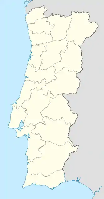
| Region: | Norte | |||||
| Unterregion: | Cávado | |||||
| Distrikt: | Braga | |||||
| Concelho: | Amares | |||||
| Koordinaten: | 41° 40′ N, 8° 17′ W | |||||
| Einwohner: | 490 (Stand: 30. Juni 2011)[1] | |||||
| Fläche: | 9,5 km² (Stand: 1. Januar 2010)[2] | |||||
| Bevölkerungsdichte: | 52 Einwohner pro km² | |||||
| Politik | ||||||
| Adresse der Gemeindeverwaltung: | Junta de Freguesia de Santa Marta do Bouro Rua Sede da Junta, nº 131 4720-684 Bouro Stª Marta | |||||

Santa Marta do Bouro gehört zum Kreis Amares im Distrikt Braga, besitzt eine Fläche von 9,5 km² und hat 490 Einwohner (Stand 30. Juni 2011)[1].
Einzelnachweise
- www.ine.pt – Indikator Resident population by Place of residence and Sex; Decennial in der Datenbank des Instituto Nacional de Estatística
- Übersicht über Code-Zuordnungen von Freguesias auf epp.eurostat.ec.europa.eu
Weblinks
- Karte der Freguesia Santa Marta do Bouro beim Instituto Geográfico do Exército
This article is issued from Wikipedia. The text is licensed under Creative Commons - Attribution - Sharealike. The authors of the article are listed here. Additional terms may apply for the media files, click on images to show image meta data.