Rocca Santa Maria
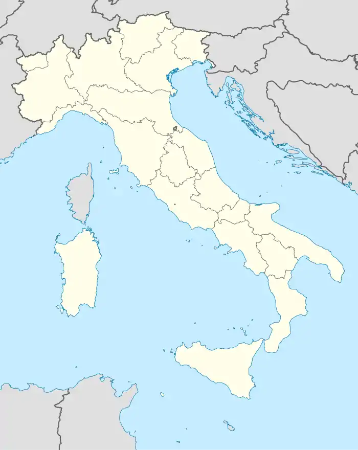
Rocca Santa Maria ist eine Gemeinde mit 497 Einwohnern (Stand 31. Dezember 2019) und liegt in der Nähe von Valle Castellana und Cortino in der italienischen Provinz Teramo. Das Territorium der Gemeinde liegt innerhalb der Grenzen des Nationalparks Gran Sasso und Monti della Laga. Die Ortschaft ist Mitglied der Comunità Montana della Laga.
| Rocca Santa Maria | ||
|---|---|---|
 |
| |
| Staat | Italien | |
| Region | Abruzzen | |
| Provinz | Teramo (TE) | |
| Koordinaten | 42° 41′ N, 13° 32′ O | |
| Höhe | 1073 m s.l.m. | |
| Fläche | 61 km² | |
| Einwohner | 497 (31. Dez. 2019)[1] | |
| Postleitzahl | 64010 | |
| Vorwahl | 0861 | |
| ISTAT-Nummer | 067036 | |
| Volksbezeichnung | roccolani | |
| Schutzpatron | San Lorenzo (10. August) | |
| Website | Rocca Santa Maria | |
Geografie
Zu den Ortsteilen (Fraktionen) zählen Acquatarola, Faiete, Fiòli, Imposte, Paranesi, San Biagio und Tavolero.
Die Nachbargemeinden sind: Amatrice, Cortino, Torricella Sicura und Valle Castellana.
Die Gemeinde liegt rund 23 km vom Hauptort der Provinz, der Stadt Teramo und 50 km von der Adriaküste entfernt.
Bevölkerungsentwicklung
| Jahr | 1861 | 1881 | 1901 | 1921 | 1936 | 1951 | 1971 | 1991 | 2001 |
|---|---|---|---|---|---|---|---|---|---|
| Einwohner | 1133 | 1337 | 1649 | 1677 | 1941 | 2043 | 1352 | 849 | 698 |
Quelle: ISTAT
Weblinks
Commons: Rocca Santa Maria – Sammlung von Bildern, Videos und Audiodateien
- Offizielle Webseite der Gemeinde Rocca Santa Maria (italienisch)
- Informationen über die Gemeinde Rocca Santa Maria (italienisch)
Einzelnachweise
- Statistiche demografiche ISTAT. Monatliche Bevölkerungsstatistiken des Istituto Nazionale di Statistica, Stand 31. Dezember 2019.
This article is issued from Wikipedia. The text is licensed under Creative Commons - Attribution - Sharealike. The authors of the article are listed here. Additional terms may apply for the media files, click on images to show image meta data.

