Riverside-Albert
Riverside-Albert ist eine kanadische Kleinstadt im Albert County, New Brunswick mit 350 Einwohnern (Stand 2016). Die Gemeinde entstand 1996 durch den Zusammenschluss zweier kleinerer Gemeinden, Riverside und Albert.
| Riverside-Albert | |||
|---|---|---|---|
 Die Consolidated School von Riverside-Albert | |||
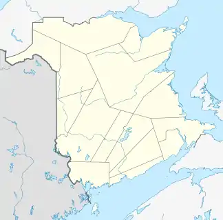
| Lage in New Brunswick | |||
| |||
| Staat: | |||
| Provinz: | New Brunswick | ||
| County: | Albert County | ||
| Koordinaten: | 45° 45′ N, 64° 44′ W | ||
| Fläche: | 5,74 km² | ||
| Einwohner: | 350 (Stand: 2016) | ||
| Bevölkerungsdichte: | 61 Einw./km² | ||
| Zeitzone: | Atlantic Time (UTC-4) | ||
| Vorwahl: | +1 506 | ||
| Gründung: | 1996 | ||
| Website: | www.riverside-albert.ca | ||
Riverside-Albert liegt am Shepody River in der Nähe der Siedlung Harvey. Riverside-Albert liegt ungefähr in der Mitte zwischen den beiden Touristenattraktionen Fundy-Nationalpark und den Hopewell Rocks.
Der Trans Canada Trail verläuft durch Riverside-Albert.
Weblinks
Commons: Riverside-Albert – Sammlung von Bildern, Videos und Audiodateien
This article is issued from Wikipedia. The text is licensed under Creative Commons - Attribution - Sharealike. The authors of the article are listed here. Additional terms may apply for the media files, click on images to show image meta data.