Princess Royal Island (Nunavut)
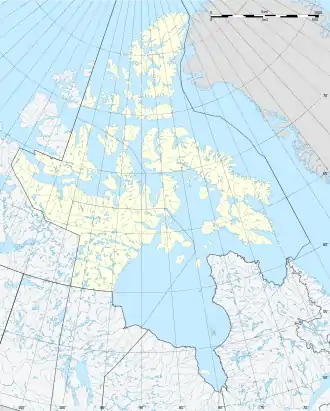
Princess Royal Island ist eine unbewohnte Insel der Königin-Elisabeth-Inseln in Nunavut, Kanada. Die Insel liegt etwa einen Kilometer vor der Nordküste von Devon Island in der Bere Bay, einer Bucht des Belcher-Kanals am westlichen Ausgang der Norwegian Bay. Sie hat grob die Form eines gleichseitigen Dreiecks mit einer Kantenlänge von 4,5 Kilometern und einer Fläche von 9 km². Ein Kliff an ihrer Nordwestküste ist bis zu 143 Meter hoch.[1]
| Princess Royal Island | ||
|---|---|---|
| Gewässer | Belcher-Kanal (Arktischer Ozean) | |
| Inselgruppe | Königin-Elisabeth-Inseln | |
| Geographische Lage | 76° 56′ 53″ N, 94° 18′ 27″ W | |
| ||
| Länge | 4,5 km | |
| Breite | 3,9 km | |
| Fläche | 9 km² | |
| Höchste Erhebung | 143 m | |
| Einwohner | unbewohnt | |
Edward Belcher entdeckte die Insel auf der Suche nach der verschollenen Franklin-Expedition. Er sah sie erstmals am 28. August 1852 von Exmouth Island aus. Am 8. Mai des Folgejahres nahm er die Insel für die britische Krone in Besitz und gab ihr ihren heutigen Namen.[2]
Weblinks
- Belcher Channel. Landkarte von Natural Resources Canada im Maßstab 1:1.000.000
Einzelnachweise
- Princess Royal Island, The Atlas of Canada – Toporama
- Edward Belcher: The last of the Arctic voyages; being a narrative of the expedition in H.M.S. Assistance, under the command of Captain Sir Edward Belcher C.B., in search of Sir John Franklin, during the years 1852–53–54. Band 1, Lovell Reeve, London 1855, S. 254 ff.
This article is issued from Wikipedia. The text is licensed under Creative Commons - Attribution - Sharealike. The authors of the article are listed here. Additional terms may apply for the media files, click on images to show image meta data.
