Plaza Point
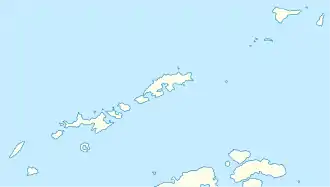
Der Plaza Point (französisch Pointe de la Plaza, spanisch Punta La Plaza) ist eine Landspitze in der Admiralty Bay von King George Island im Archipel der Südlichen Shetlandinseln. Sie liegt an der Südspitze der Keller-Halbinsel, welche das Mackellar Inlet vom Martel Inlet trennt.
| Plaza Point | ||
| Geographische Lage | ||
| ||
| Koordinaten | 62° 5′ S, 58° 24′ W | |
| Lage | King George Island (Südliche Shetlandinseln) | |
| Gewässer | Mackellar Inlet | |
| Gewässer 2 | Martel Inlet | |
Kartiert wurde die Landspitze im Dezember 1909 bei der Fünften Französischen Antarktisexpedition (1908–1910) unter der Leitung Jean-Baptiste Charcots. Charcot benannte sie nach dem argentinischen Politiker Victorino de la Plaza (1840–1919), damaliger Außenminister und späterer Präsident Argentiniens.[1] Das UK Antarctic Place-Names Committee übertrug die französische Benennung am 20. September 1955 ins Englische.
Weblinks
- Plaza Point im Geographic Names Information System des United States Geological Survey (englisch)
- Plaza Point auf geographic.org (englisch)
Einzelnachweise
- John Stewart: Antarctica – An Encyclopedia. Bd. 2, McFarland & Co., Jefferson und London 2011, ISBN 978-0-7864-3590-6, S. 1225 (englisch).
This article is issued from Wikipedia. The text is licensed under Creative Commons - Attribution - Sharealike. The authors of the article are listed here. Additional terms may apply for the media files, click on images to show image meta data.
