Opołonek
Der Opołonek (ukrainisch Ополонек Opolonek) ist ein 1028 m hoher Berg der polnischen Bieszczady im äußersten Südosten des Landes im Powiat Bieszczadzki der Woiwodschaft Karpatenvorland an der Grenze zur Ukraine. Gleichzeitig ist er der südlichste Punkt Polens.
| Opołonek | ||
|---|---|---|

Felsformation auf dem Gipfel | ||
| Höhe | 1028 m | |
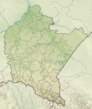
| Lage | Powiat Bieszczadzki, Woiwodschaft Karpatenvorland, Polen | |
| Gebirge | Bieszczady | |
| Schartenhöhe | 165 m | |
| Koordinaten | 49° 0′ 9″ N, 22° 50′ 50″ O | |
| ||
Der Opołonek liegt im Bieszczady-Nationalpark und ist von Ustrzyki Górne beziehungsweise von Wołosate über einen grün markierten Wanderweg aus zu erreichen.
Weblinks
Commons: Opolonek – Sammlung von Bildern, Videos und Audiodateien
Nachweise
Zbigniew Mirek, Halina Piękoś-Mirkowa: Czerwona księga Karpat Polskich. Kraków: Instytut Botaniki PAN, 2008. ISBN 978-83-89648-71-6.
This article is issued from Wikipedia. The text is licensed under Creative Commons - Attribution - Sharealike. The authors of the article are listed here. Additional terms may apply for the media files, click on images to show image meta data.