Naumata (Ort)
Naumata ist eine osttimoresische Siedlung im Suco Betulau (Verwaltungsamt Lequidoe, Gemeinde Aileu).[1]
| Naumata | |||
|---|---|---|---|
| |||
| Koordinaten | 8° 45′ S, 125° 40′ O | ||
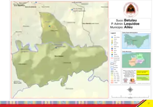 Karte des Sucos Betulau Karte des Sucos Betulau | |||
| Basisdaten | |||
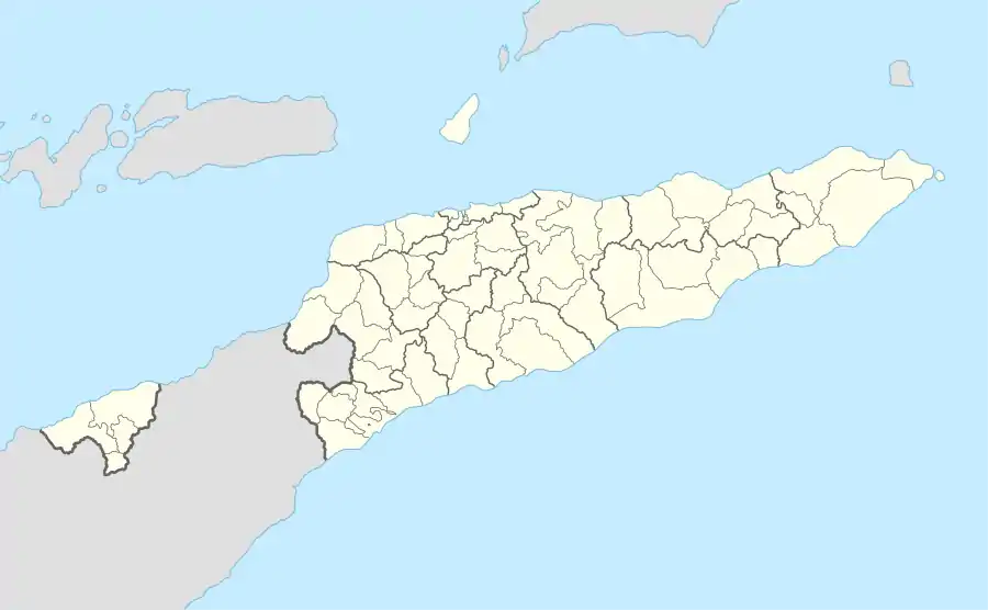
| Staat | Osttimor | ||
| Aileu | |||
| Verwaltungsamt | Lequidoe | ||
| Suco | Betulau | ||
| Aldeia | Lebutun | ||
| Höhe | 821 m | ||
Geographie und Einrichtungen
Das Dorf Naumata liegt im Nordwesten der Aldeia Naumata, südlich des Flusses Manufonihun, der später Manufonibun heißt, in einer Meereshöhe von 821 m.[1] Der Fluss gehört zum System des Nördlichen Laclós.[2] Pisten verbinden das Dorf mit seinen Nachbarorten: Lebutun (Aldeia Lebutun) im Norden und Sarabere (Aldeia Sarabere) im Westen.[1]
Im Dorf Naumata befinden sich eine Grundschule und der Sitz des Sucos Betulau.[1]
Einzelnachweise
- Direcção-Geral de Estatística: Atlas der Gemeinde Aileu, abgerufen am 21. März 2021.
- Timor-Leste GIS-Portal (Memento vom 30. Juni 2007 im Internet Archive)
This article is issued from Wikipedia. The text is licensed under Creative Commons - Attribution - Sharealike. The authors of the article are listed here. Additional terms may apply for the media files, click on images to show image meta data.