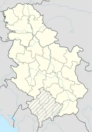
Mramorak
Mramorak (serbisch-kyrillisch Мраморак; rumänisch Mramorac) ist ein Dorf mit rund 2700 Einwohnern in der Opština Kovin in der nordserbischen Provinz Vojvodina.
| Мраморак Mramorak Mramorac | |||||
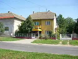 Мраморак Straßenszene in Mramorak | |||||
| |||||
| Basisdaten | |||||
|---|---|---|---|---|---|
| Staat: | Serbien | ||||
| Provinz: | Vojvodina | ||||
| Okrug: | Okrug Južni Banat | ||||
| Opština: | Opština Kovin | ||||
| Koordinaten: | 44° 53′ N, 20° 58′ O | ||||
| Höhe: | 109 m. i. J. | ||||
| Fläche: | 87,8 km² | ||||
| Einwohner: | 2.690 (2011) | ||||
| Bevölkerungsdichte: | 31 Einwohner je km² | ||||
| Telefonvorwahl: | (+381) 013 | ||||
| Postleitzahl: | 26226 | ||||
| Kfz-Kennzeichen: | KO | ||||
| Struktur und Verwaltung | |||||
| Gemeindeart: | Dorf | ||||

Geographie
Etwa 2½ km östlich des Dorfkerns beginnt die Banater Sandwüste.
Demographie
Die Bevölkerung des Dorfes ist im vergangenen Halbjahrhundert beständig zurückgegangen:[1]
| 1948 | 1953 | 1961 | 1971 | 1981 | 1991 | 2002 | 2011 |
|---|---|---|---|---|---|---|---|
| 4939 | 5204 | 5113 | 4411 | 3888 | 3597 | 3145 | 2690 |
Belege
- Republički Zavod za Statistiku Srbije.: Uporedni pregled broja stanovnika 1948, 1953, 1961, 1971, 1981, 1991, 2002. i 2011.: podaci po naseljima = Comparative overview of the number of population in 1948, 1953, 1961, 1971, 1981, 1991, 2002 and 2011 : data by settlements. Beograd 2014, ISBN 978-86-6161-109-4, S. 35 (gov.rs [PDF]).
This article is issued from Wikipedia. The text is licensed under Creative Commons - Attribution - Sharealike. The authors of the article are listed here. Additional terms may apply for the media files, click on images to show image meta data.