Monte Córdova
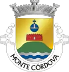
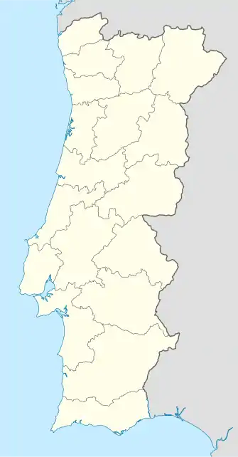
Monte Córdova ist eine überwiegend landwirtschaftlich geprägte Gemeinde (freguesia) im Kreis von Santo Tirso in Portugal mit 3958 Einwohnern (Stand 30. Juni 2011) und einer Fläche von 16,8 km²[1]. In der Nähe befindet sich die keltische Siedlung Castro do Monte Padrão.
| Monte Córdova | ||||||
|---|---|---|---|---|---|---|
| ||||||
| Basisdaten | ||||||
| Region: | Norte | |||||
| Unterregion: | Metropolregion Porto | |||||
| Distrikt: | Porto | |||||
| Concelho: | Santo Tirso | |||||
| Koordinaten: | 41° 19′ N, 8° 26′ W | |||||
| Einwohner: | 3958 (Stand: 30. Juni 2011)[1] | |||||
| Fläche: | 16,8 km² (Stand: 1. Januar 2010)[2] | |||||
| Bevölkerungsdichte: | 236 Einwohner pro km² | |||||
Einzelnachweise
- www.ine.pt – Indikator Resident population by Place of residence and Sex; Decennial in der Datenbank des Instituto Nacional de Estatística
- Übersicht über Code-Zuordnungen von Freguesias auf epp.eurostat.ec.europa.eu
Weblinks
- Karte der Freguesia Monte Córdova beim Instituto Geográfico do Exército
- Information zu Monte Córdova. cm-stirso.pt, abgerufen am 31. Mai 2011 (portugiesisch).
This article is issued from Wikipedia. The text is licensed under Creative Commons - Attribution - Sharealike. The authors of the article are listed here. Additional terms may apply for the media files, click on images to show image meta data.


