Medstead (Saskatchewan)
Medstead ist ein Dorf (Village) im Westen der kanadischen Provinz Saskatchewan. Es liegt innerhalb der Gemeinde Medstead No. 497 am Highway 794.[1] Medstead liegt rund 60 km nördlich von Battleford entfernt.[2]
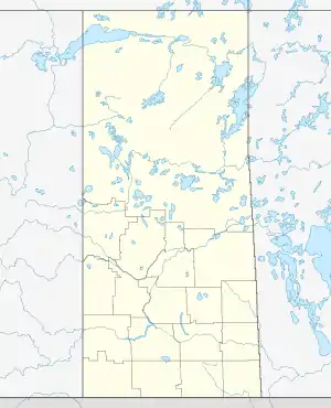
| Medstead | |||
|---|---|---|---|
| Lage in Saskatchewan | |||
| |||
| Staat: | |||
| Provinz: | Saskatchewan | ||
| Region: | Zentral | ||
| Rural municipality: | Medstead No. 497 | ||
| Koordinaten: | 53° 18′ N, 108° 3′ W | ||
| Höhe: | 692 m | ||
| Fläche: | 67 ha | ||
| Einwohner: | 130 (Stand: 2016) | ||
| Bevölkerungsdichte: | 194 Einw./km² | ||
| Zeitzone: | Central Time (UTC−6) | ||
| Postleitzahl: | S0M 1W0 | ||
| Vorwahl: | +1 306 | ||
| Bürgermeister: | Robert Bonsan | ||
Medstead besitzt eine Fläche von ca. 0,67 km² und liegt 692 m (2,270 feet) über dem Normalniveau.[3]
.svg.png.webp)
Demografie
Nach der Zählung von 2001 hatte Medstead etwa 144 Einwohner. Zum Jahr 2006 stieg die Zahl um 2,8 % auf 148 an. Das Durchschnittsalter lag damals bei 38,5 Jahren.[4] Im Jahr 2011 lebten laut einer erneuten Volkszählung 120 Personen im Ort. Die Bevölkerungszahl sank somit zwischen 2006 und 2011 um 18,9 %. Bis 2016 stieg sie wieder um 8,3 % auf 130 an. Der Altersdurchschnitt beträgt 43,5 Jahre; die Zahl der Privathaushalte liegt bei 65.[5]