Marlow Heights
Marlow Heights ist ein Census Designated Place im Prince George’s County im US-Bundesstaat Maryland mit gut 5.000 Einwohnern.
| Marlow Heights | |||
|---|---|---|---|
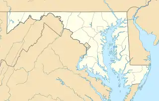
Lage in Maryland | |||
| Basisdaten | |||
| Staat: | Vereinigte Staaten | ||
| Bundesstaat: | Maryland | ||
| County: | Prince George’s County | ||
| Koordinaten: | 38° 50′ N, 76° 57′ W | ||
| Zeitzone: | Eastern (UTC−5/−4) | ||
| Einwohner: | 6.169 (Stand: 2020) | ||
| Fläche: | 5,3 km² (ca. 2 mi²) davon 5,3 km² (ca. 2 mi²) Land | ||
| Postleitzahlen: | 20746, 20748 | ||
| Vorwahl: | +1 301 | ||
| FIPS: | 24-50750 | ||
| GNIS-ID: | 0597719 | ||
Der Wohn-Vorort von Washington, D.C. liegt zwischen dem Capitol Hill und der Andrews Air Force Base in unmittelbarer Nähe der Volkszählungsbehörde.
Weblinks
Commons: Marlow Heights – Sammlung von Bildern, Videos und Audiodateien
This article is issued from Wikipedia. The text is licensed under Creative Commons - Attribution - Sharealike. The authors of the article are listed here. Additional terms may apply for the media files, click on images to show image meta data.