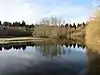
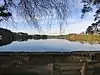
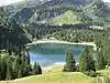
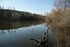
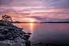
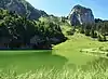
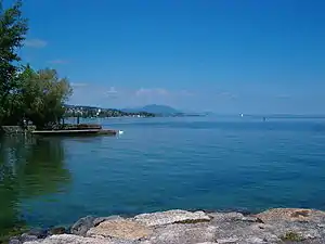
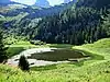
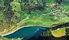
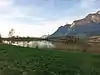
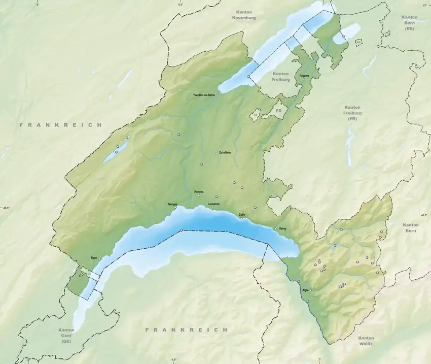
Liste der Seen im Kanton Waadt
Die folgende Liste enthält benannte Seen und andere Stillgewässer im Kanton Waadt.[1][2]
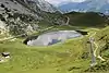
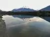
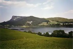
.jpg.webp)
Ehemalige Seen
Siehe auch
Einzelnachweise
Aargau | Appenzell | Basel-Stadt | Basel-Landschaft | Bern | Freiburg | Genf | Glarus | Graubünden | Jura | Luzern | Neuenburg | Nidwalden | Obwalden | Schaffhausen | Schwyz | Solothurn | St. Gallen | Tessin | Thurgau | Uri | Waadt | Wallis | Zug | Zürich | Ganze Schweiz
This article is issued from Wikipedia. The text is licensed under Creative Commons - Attribution - Sharealike. The authors of the article are listed here. Additional terms may apply for the media files, click on images to show image meta data.