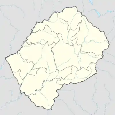
Liste der Ramsar-Gebiete in Lesotho
Das Ramsar-Gebiet in Lesotho ist nach der 1971 beschlossenen Ramsar-Konvention eine besondere Schutzzone für natürliche Feuchtgebiete auf dem Territorium des Landes. Es besitzt gemäß dem Anliegen dieses völkerrechtlichen Vertrags eine hohe Bedeutung und dient insbesondere dem Erhalt der Lebensräume von Wasser- und Watvögeln. In Lesotho sind diese Bestimmungen mit Wirkung vom 1. November 2004 in Kraft getreten.[1]
In Lesotho existiert ein Ramsar-Gebiet (Stand 2021) mit einer Fläche von 434 Hektar.[1]
Liste der Ramsar-Gebiete von Lesotho
Quelle:[2]
| Name des Gebiets | Bild | Lage | Position | Koordinaten | Größe in ha |
Ausweisungs- Datum |
Bemerkungen | ||
|---|---|---|---|---|---|---|---|---|---|
| Lets'eng-la-Letsie | .jpg.webp) |
Distrikt Quthing |
|
30° 19′ 1,2″ S, 28° 11′ 14,3″ O | 434 | 1. Juli 2004 | nationaler Status: nur CMBSL Das Schutzgebiet liegt in einem Hochgebirgstal an der Straße zum Ongeluksnek-Pass im Süden des Landes und ist ein Teil des Projektes Conserving Mountain Biodiversity in Southern Lesotho (CMBSL). |
Literatur
- J. Turpie, H. Malan: Wetland Health and Importance Research Programme (WRC Project No. K5/1584). Wetland Valuation Vol. II, Wetland Valuation Case Studies. South Africa, Water Research Commission, Cape Town 2010, online auf www.wrc.org.za (PDF, englisch), PDF-Seite 19–22.
Weblinks
- Lesotho, Department of Water Affairs & Johan Rothmann: Lets'eng-la-Letsie (Lesotho). auf www.saramsar.com (englisch)
Einzelnachweise
- Ramsar Convention Secretariat: Lesotho. auf www.ramsar.org (englisch).
- Ramsar Convention Secretariat: Annotated List of Wetlands of International Importance. Lesotho. auf www.rsis.ramsar.org (englisch).
This article is issued from Wikipedia. The text is licensed under Creative Commons - Attribution - Sharealike. The authors of the article are listed here. Additional terms may apply for the media files, click on images to show image meta data.
