Leber (Berg)
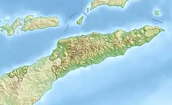
Der Leber (auch Lolo Leber, Mount Leber, Gunung Leber) ist ein Berg in Osttimor mit einer Höhe von 1403 m.[1] Er liegt im Norden des Sucos Gildapil, nahe den Orten Hoololo und Sassa. Die Grenze zu Indonesien liegt nur etwa einen Kilometer in westlicher Richtung entfernt.[2]
| Leber | ||
|---|---|---|
| Höhe | 1403 m | |
| Lage | Suco Gildapil, Verwaltungsamt Lolotoe, Gemeinde Bobonaro, Osttimor | |
| Koordinaten | 9° 5′ 12″ S, 125° 11′ 38″ O | |
| ||
Einzelnachweise
- Ministerium für Staatsverwaltung und Territorialmanagement: Bobonaro (Memento vom 16. Februar 2013 im Internet Archive)
- Indexmundi - East Timor - Mountains
Änderung der administrativen Grenzen Osttimor
Die administrativen Grenzen innerhalb Osttimors haben sich 2015 geändert. Dieser Artikel muss daher geprüft und gegebenenfalls aktualisiert werden. Siehe Neue administrative Grenzen.
This article is issued from Wikipedia. The text is licensed under Creative Commons - Attribution - Sharealike. The authors of the article are listed here. Additional terms may apply for the media files, click on images to show image meta data.