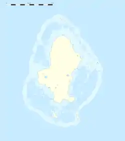
Kolopopo
Kolopopo ist ein Dorf im Distrikt Muʻa im Königreich Uvea, welches als Teil des französischen Überseegebiets Wallis und Futuna zu Frankreich gehört.[1] Es ist das kleinste der insgesamt zehn Dörfer im Distrikt Muʻa und ist nicht eindeutig von den umliegenden Dörfern abgegrenzt.
| Kolopopo | |||
|---|---|---|---|
| |||
| Koordinaten | 13° 21′ S, 176° 13′ W | ||
| Basisdaten | |||
| Staat | Frankreich | ||
| Wallis und Futuna | |||
| Königreich | Uvea | ||
| Distrikt | Muʻa | ||
| Einwohner | 112 (2013) | ||
Lage
Kolopopo liegt an der dichter besiedelten Südküste des Distrikts Muʻa im Süden der Insel Uvea, die zu den Wallis-Inseln gehört. Nördlich des Dorfes befindet sich Halalo, östlich liegt Teʻesi.
Einzelnachweise
- Populations légales des îles Wallis et Futuna en 2013. Institut national de la statistique et des études économiques (INSEE), 21. November 2013, abgerufen am 1. Dezember 2017 (französisch).
This article is issued from Wikipedia. The text is licensed under Creative Commons - Attribution - Sharealike. The authors of the article are listed here. Additional terms may apply for the media files, click on images to show image meta data.
