Killiecrankie
Killiecrankie (schott.-gäl.: Coille Chneagaidh) ist ein Dorf in Perth and Kinross, Schottland am Fluss Garry. Es liegt am Pass von Killiecrankie an der A9. Im Dorf steht ein Kraftwerk des Tummel Hydro-Electric Power Scheme. Ein Großteil des Ufers gehört dem National Trust for Scotland.[1]
| Killiecrankie schottisch-gälisch Coille Chneagaidh | |||
|---|---|---|---|
 Gebäude in Killiecrankie | |||
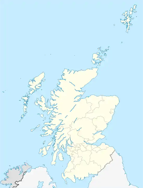
| Koordinaten | 56° 45′ N, 3° 47′ W | ||
| |||
| Traditionelle Grafschaft | Perthshire | ||
| Verwaltung | |||
| Post town | PITLOCHRY | ||
| Postleitzahlenabschnitt | PH16 | ||
| Vorwahl | 01796 | ||
| Landesteil | Scotland | ||
| Council area | Perth and Kinross | ||
| Britisches Parlament | Perth and North Perthshire | ||
| Schottisches Parlament | Perthshire North | ||
Während des Jakobitenaufstands 1689 wurde am 27. Juli 1689 die Schlacht von Killiecrankie am Nordrand des Dorfes ausgetragen. Donald MacBane, der für die Seite des Wilhelm III. von Oranien kämpfte, verlor die Schlacht und soll den Fluss an The Soldier’s Leap überquert haben.
Einzelnachweise
- Beschreibung von Killiecrankie auf der Seite des National Trust for Scotland abgerufen am 19. August 2021
This article is issued from Wikipedia. The text is licensed under Creative Commons - Attribution - Sharealike. The authors of the article are listed here. Additional terms may apply for the media files, click on images to show image meta data.