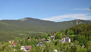
Jezerní hora
Der Jezerní hora (deutsch Seewand)[2] ist ein 1343 m n.m. hoher Berg im Kamm des Künischen Gebirges des Böhmerwaldes.
| Jezerní hora | ||
|---|---|---|
 | ||
| Höhe | 1343 m n.m. | |
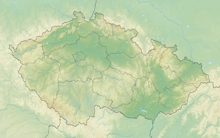
| Lage | Böhmen, Tschechien | |
| Gebirge | Künisches Gebirge, Böhmerwald | |
| Dominanz | 7 km → Großer Arber[1] | |
| Schartenhöhe | 308 m ↓ Brennes, Bayerisch Eisenstein | |
| Koordinaten | 49° 10′ 7″ N, 13° 11′ 3″ O | |
| ||
Einzelnachweise
- Prominence a izolace na Ultratisicovky.cz
- Höfer Straßenkarte Südliches Egerland-Böhmerwald (CS 004)
This article is issued from Wikipedia. The text is licensed under Creative Commons - Attribution - Sharealike. The authors of the article are listed here. Additional terms may apply for the media files, click on images to show image meta data.