Harmatinger Weiher
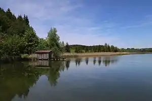
Der Harmatinger Weiher ist ein kleiner See innerhalb der Gemeinde Egling im bayerischen Oberland etwa fünf Kilometer östlich von Geretsried.
| Harmatinger Weiher | ||
|---|---|---|
 | ||
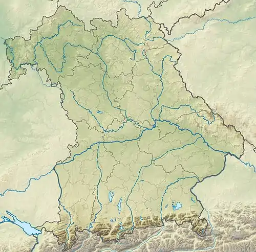
| Geographische Lage | Bayerisches Oberland, Bayern | |
| Abfluss | Weiherbach → Mooshamer Weiherbach | |
| Ufernaher Ort | Geretsried, Bad Tölz, München | |
| Daten | ||
| Koordinaten | 47° 53′ 6″ N, 11° 31′ 47″ O | |
| ||
| Höhe über Meeresspiegel | 625 m ü. NN | |
| Fläche | 13 ha | |
| Länge | 700 m | |
| Breite | 230 m | |
Am Südende des Sees befindet sich ein Gasthaus, ein Parkplatz und eine Badestelle, das restliche Ufer ist größtenteils mit Schilf umschlossen.
Das Gasthaus ist aktuell (Stand August 2019) geschlossen.
Weblinks
Commons: Harmatinger Weiher – Sammlung von Bildern, Videos und Audiodateien
This article is issued from Wikipedia. The text is licensed under Creative Commons - Attribution - Sharealike. The authors of the article are listed here. Additional terms may apply for the media files, click on images to show image meta data.