Eridania (Gradfeld)
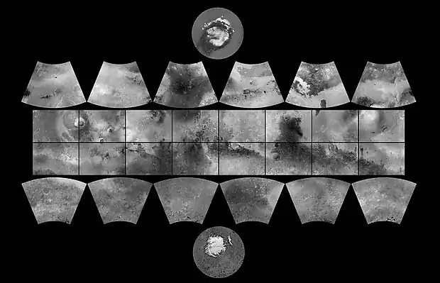
Das Eridania-Gradfeld gehört zu den 30 Gradfeldern des Mars. Sie wurden durch die United States Geological Survey (USGS) festgelegt. Die Nummer ist MC-29, das Gradfeld umfasst das Gebiet von 180° bis 240° westlicher Länge und von −65° bis −30° südlicher Breite.[1]
Große Teile von Terra Cimmeria befinden sich innerhalb des Gradfeldes.[2] Der Name kommt von einem Albedo feature im Bereich von Eridania Planitia, die wiederum durch eine Gegend in der Nähe des Pos benannt wurde.[3]
Andere Gradfelder
Gradfelder des Planeten Mars
Weblinks
Commons: Eridania – Sammlung von Bildern, Videos und Audiodateien
Einzelnachweise
- Davies, M.E.; Batson, R.M.; Wu, S.S.C. “Geodesy and Cartography” in Kieffer, H.H.; Jakosky, B.M.; Snyder, C.W.; Matthews, M.S., Eds. Mars. University of Arizona Press: Tucson, 1992.
- Grant, J. and P. Schultz. 1990. Gradational epochs on Mars: Evidence from west-northwest of Isidis Basin and Electric. Icarus: 84. 166–195.
- Eridania im Gazetteer of Planetary Nomenclature der IAU (WGPSN) / USGS
- Oliver Morton: Mapping Mars: Science, Imagination, and the Birth of a World. Picador USA, New York 2002, ISBN 0-312-24551-3, S. 98.
- PIA03467: The MGS MOC Wide Angle Map of Mars photojournal.jpl.nasa.gov, 16. Februar 2002
- Davies, M.E.; Batson, R.M.; Wu, S.S.C. "Geodesy and Cartography" in Kieffer, H.H.; Jakosky, B.M.; Snyder, C.W.; Matthews, M.S., Eds. Mars. University of Arizona Press: Tucson, 1992.
This article is issued from Wikipedia. The text is licensed under Creative Commons - Attribution - Sharealike. The authors of the article are listed here. Additional terms may apply for the media files, click on images to show image meta data.