Dima wa at-Tayyin
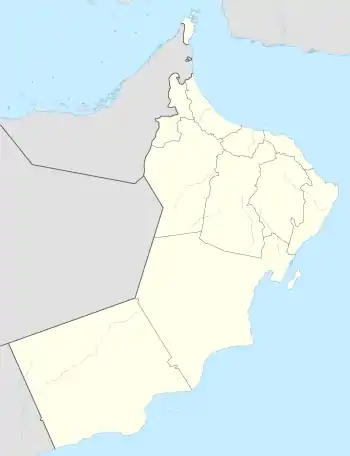
Dima wa at-Tayyin (Englisch Dima wa'Tayeen, Dima wa Tayeen oder Dima W'aatayeen; arabisch دماء والطائيين, DMG Dimāʾ wa-ṭ-Ṭāʾiyyīn) ist ein Dorf mit ca. 2000 Einwohnern[1] im Sultanat Oman. Dima wa at-Tayyin liegt im östlichen Hochland des Hadschar-Gebirges und an der Fernstraße Route 25. Dima wa at-Tayyin ist administrativ auch ein Wilaya des Gouvernements Schamal asch-Scharqiyya. Der Verwaltungsbezirk hat eine Größe von 1664 km² und eine Einwohnerzahl von 19.442 Personen. Zur Ortschaft gehören ebenfalls die Orte Mehlah und Ghayyan.

Wadi-Dayqah-Damm in Quriyat
| Dima wa at-Tayyin | |||
|---|---|---|---|
| |||
| Koordinaten | 23° 3′ 4″ N, 58° 35′ 58″ O | ||
| Basisdaten | |||
| Staat | Oman | ||
| Schamal asch-Scharqiyya | |||
| Höhe | 355 m | ||
| Fläche | 3,7 km² | ||
| Einwohner | 1942 (12.12.2010) | ||
| Dichte | 523,5 Ew./km² | ||
Das Wadi Dima verläuft östlich des Orts und führt bis an die Küstenebene in Quriyat. Kurz davor mündet es in den Wadi-Dayqah-Damm.[2]
Literatur
- Kirstin Kabasci, Peter Franzisky: Oman. Reiseführer. 9. Auflage, 2015. ISBN 978-3-8317-2543-4.
- Henning Neuschäffer: Oman & Vereinigte Arabische Emirate. Polyglott „Apa Guide“, 2012. ISBN 978-3-86459-038-2.
Einzelnachweise
This article is issued from Wikipedia. The text is licensed under Creative Commons - Attribution - Sharealike. The authors of the article are listed here. Additional terms may apply for the media files, click on images to show image meta data.