Canterbury (Melbourne)
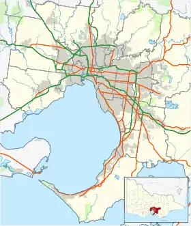
Canterbury ist ein Stadtteil der australischen Stadt Melbourne und liegt etwa 10 km östlich des Stadtzentrums in der Boroondara City. Canterbury ist nach John Manners-Sutton, 3. Viscount Canterbury benannt, der von 1866 bis 1873 Gouverneur der britischen Kronkolonie Victoria war.
| Canterbury | |||||||||
|---|---|---|---|---|---|---|---|---|---|
 Victoria Avenue | |||||||||
| |||||||||
| |||||||||
| |||||||||
| |||||||||
| |||||||||
1870 wurde in Canterbury ein Postamt eröffnet. 1882 erfolgte die Einrichtung einer Eisenbahnverbindung nach Melbourne.
Die erste Unterteilung der Gegend erfolgte 1885, als Michael Logan den "Claremont Park Estate" im Bezirk der Canterbury Road, Bryson Street, Prospect Hill Road and Logan Street eröffnete.
Canterbury gilt heute als einer der wohlhabendsten Stadtteile von Melbourne.
Einzelnachweise
- Australian Bureau of Statistics: Canterbury (Vic.) (Englisch) In: 2016 Census QuickStats. 27. Juni 2017. Abgerufen am 22. April 2020.
This article is issued from Wikipedia. The text is licensed under Creative Commons - Attribution - Sharealike. The authors of the article are listed here. Additional terms may apply for the media files, click on images to show image meta data.
