Buan
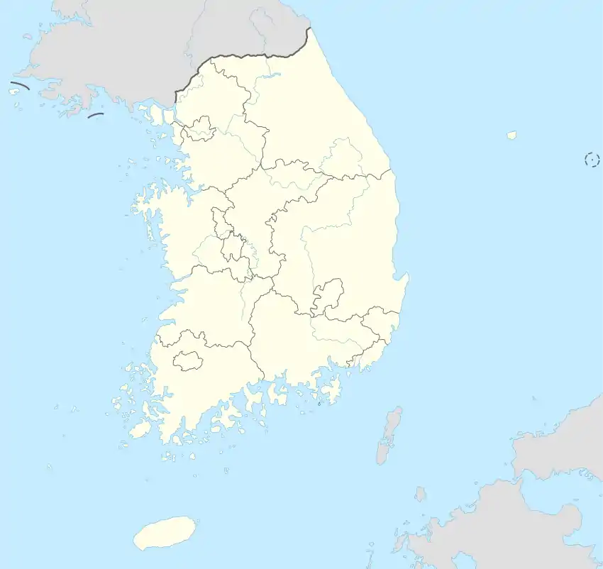
Der Landkreis Buan (kor. 부안군, Buan-gun) befindet sich in der Provinz Jeollabuk-do und grenzt ans Gelbe Meer.
| Buan-gun | ||||
|---|---|---|---|---|
| Koreanisches Alphabet: | 부안군 | |||
| Chinesische Schriftzeichen: | 扶安郡 | |||
| Revidierte Romanisierung: | Buan-gun | |||
| McCune-Reischauer: | Puan-gun | |||
| Basisdaten | ||||
| Provinz: | Jeollabuk-do | |||
| Koordinaten: | 35° 44′ N, 126° 44′ O | |||
| Fläche: | 493,0 km² | |||
| Einwohner: | 54.150 (Stand: 31. Dezember 2019[1]) | |||
| Bevölkerungsdichte: | 110 Einwohner je km² | |||
| Gliederung: | 1 eup, 12 myeon | |||
| Karte | ||||
| ||||
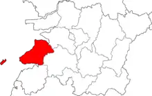
Lage des Landkreises in der Provinz Jeollabuk-do
Im Jahre 1988 wurde der Byeonsan Nationalpark eingerichtet. Im Landkreis befinden sich der im Jahre 633 gebaute Tempel Naesosa.
Administrative Gliederung
- Buan-eup (부안읍)
- Jusan-myeon (주산면)
- Dongjin-myeon (동진면)
- Haeng-an-myeon (행안면)
- Gyehwa-myeon (계화면)
- Boan-myeong (보안면)
- Byeonsan-myeon (변산면)
- Jinseo-myeon (진서면)
- Baeksan-myeon (백산면)
- Sangseo-myeon (상서면)
- Haseo-myeon (하서면)
- Jupo-myeon (줄포면)
- Wido-myeon (위도면)
Weblinks
- Website des Landkreises Buan (englisch)
Einzelnachweise
- BUAN-GUN, Kreis in Jeollabuk-do (Südkorea), citypopulation.de, abgerufen am 24. Juni 2021
This article is issued from Wikipedia. The text is licensed under Creative Commons - Attribution - Sharealike. The authors of the article are listed here. Additional terms may apply for the media files, click on images to show image meta data.