Bantayan (Insel)
Bantayan ist eine philippinische Insel in der Visayas-See.
| Bantayan | ||
|---|---|---|
 Strand auf Bantayan, 2008 | ||
| Gewässer | Visayas-See | |
| Inselgruppe | Visayas | |
| Geographische Lage | 11° 13′ N, 123° 44′ O | |
| ||
| Fläche | 116,4 km² | |
| Einwohner | 120.000 (2000) 1031 Einw./km² | |
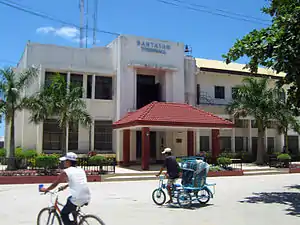 Rathaus von Bantayan, 2008 | ||
Lage
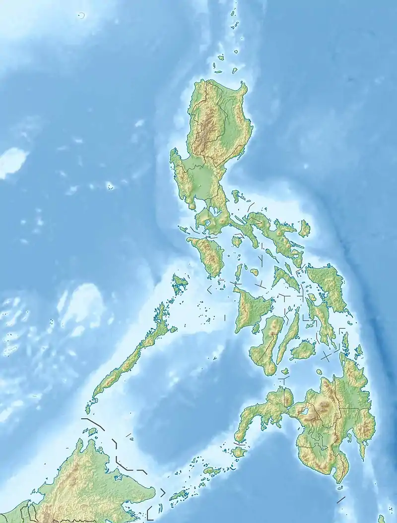
Die Insel liegt nordwestlich der Insel Cebu. Ihre Länge beträgt ca. 16 Kilometer (Nord-Süd), die Breite etwa 10 km, sie umfasst 116,4 km².[1] Südwestlich und östlich liegen Kinatarkan, Hilantagaan und weitere kleine Inseln. Die philippinische Hauptinsel Negros liegt im Südwesten und Panay im Westen. Auf der Insel lebten im Jahr 2000 über 120.000 Einwohner. Sie gehört zur Provinz Cebu.
Die Insel ist mit der Fähre vom Hafen im Barangay Hagnaya auf Cebu oder von Sagay City auf Negros erreichbar. Der kleine Flughafen Bantayan Airport (ICAO-Code: RPSB) liegt nahe der Stadt Santa Fe und wird von der Fluggesellschaft Mid-Sea Express angeflogen.
Siehe auch
Einzelnachweise
This article is issued from Wikipedia. The text is licensed under Creative Commons - Attribution - Sharealike. The authors of the article are listed here. Additional terms may apply for the media files, click on images to show image meta data.