Bahía Mansa
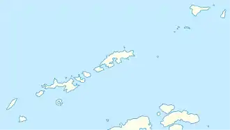
Die Bahía Mansa (von spanisch manso ‚sanftmütig‘) ist eine 180 m breite Bucht der Livingston-Insel im Archipel der Südlichen Shetlandinseln. Sie liegt zwischen dem Punta Delfin und dem Punta Lobos auf der Ostseite des Kap Shirreff, des nördlichen Ausläufers der Johannes-Paul-II.-Halbinsel.
| Bahía Mansa | ||
|---|---|---|
| Gewässer | Hero Bay | |
| Landmasse | Livingston-Insel, Südliche Shetlandinseln | |
| Geographische Lage | 62° 27′ 52,9″ S, 60° 47′ 4″ W | |
| ||
| Breite | 180 m | |
Wissenschaftler der 39. Chilenischen Antarktisexpedition (1984–1985) benannten sie nach dem hier quasi nicht vorhandenen Seegang.
Weblinks
- Mansa, Bahía im Composite Gazetteer of Antarctica (englisch und spanisch)
This article is issued from Wikipedia. The text is licensed under Creative Commons - Attribution - Sharealike. The authors of the article are listed here. Additional terms may apply for the media files, click on images to show image meta data.
