Watsonville
Watsonville ist eine Stadt im Santa Cruz County im US-Bundesstaat Kalifornien mit 46.000 Einwohnern (Stand: 2004). Die geographischen Koordinaten sind: 36,92° Nord, 121,77° West. Das Stadtgebiet hat eine Größe von 16,7 km².
| Watsonville | |||
|---|---|---|---|
 Siegel |
|||
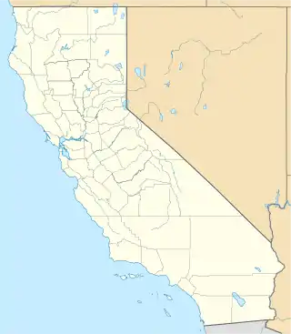
| Lage in Kalifornien | |||
| |||
| Basisdaten | |||
| Gründung: | 1868 | ||
| Staat: | Vereinigte Staaten | ||
| Bundesstaat: | Kalifornien | ||
| County: | Santa Cruz County | ||
| Koordinaten: | 36° 55′ N, 121° 46′ W | ||
| Zeitzone: | Pacific (UTC−8/−7) | ||
| Einwohner: | 52.590 (Stand: 2020) | ||
| Fläche: | 16,6 km² (ca. 6 mi²) davon 16,4 km² (ca. 6 mi²) Land | ||
| Höhe: | 10 m | ||
| Postleitzahlen: | 95076, 95077 | ||
| Vorwahl: | +1 831 | ||
| FIPS: | 06-83668 | ||
| GNIS-ID: | 1660138 | ||
| Website: | cityofwatsonville.org | ||
| Bürgermeister: | Ari Parker | ||
Söhne und Töchter der Stadt
- Molly McClure (1919–2008), Schauspielerin
- Bob Scott (1928–1954), Autorennfahrer
- Joel Fabiani (* 1936), Schauspieler
- Tony Carey (* 1953), Rockmusiker
- Lynn Silliman (* 1959), Ruderin
- Ebony Browne (1974–2007), Singer-Songwriterin
- Ty Sambrailo (* 1992), American-Football-Spieler
This article is issued from Wikipedia. The text is licensed under Creative Commons - Attribution - Sharealike. The authors of the article are listed here. Additional terms may apply for the media files, click on images to show image meta data.