Villa María (Río Negro)
Villa María ist eine Ortschaft in Uruguay.
| Villa María | ||
|---|---|---|
|
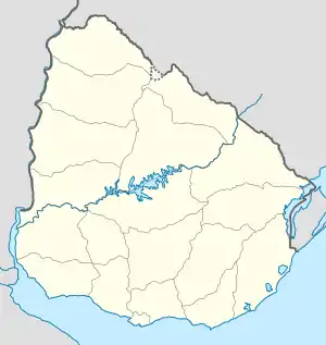
Villa María auf der Karte von Uruguay | ||
| Basisdaten | ||
| Staat | Uruguay | |
| Departamento | Río Negro | |
| Einwohner | 132 (2011) | |
| Detaildaten | ||
Geographie
Sie befindet sich zwischen der Cuchilla de Haedo und der Cuchilla del Ombú im zentralen nördlichen Teil des Departamento Río Negro in dessen Sektor 6. Nahe dem Ort verläuft der Arroyo Don Esteban Grande. Im Westen grenzt Villa General Borges an. Einige Kilometer weiter Richtung Westen ist Menafra gelegen.
Einwohner
Der Ort hatte bei der Volkszählung im Jahr 2011 132 Einwohner.[1]
| Jahr | Einwohner |
|---|---|
| 1963 | N.N. |
| 1975 | N.N. |
| 1985 | N.N. |
| 1996 | N.N. |
| 2004 | 199 |
| 2011 | 132 |
Weblinks
- Stadtplan von Villa María (PDF; 78 kB)
Einzelnachweise
- Statistische Daten des Instituto Nacional de Estadística de Uruguay, abgerufen am 28. April 2014
- Statistische Daten des Instituto Nacional de Estadística de Uruguay 1963–1996 (DOC; 75 kB)
- Statistische Daten des Instituto Nacional de Estadística de Uruguay 2004 als xls-Datei (Memento des Originals vom 24. September 2015 im Internet Archive) Info: Der Archivlink wurde automatisch eingesetzt und noch nicht geprüft. Bitte prüfe Original- und Archivlink gemäß Anleitung und entferne dann diesen Hinweis.
This article is issued from Wikipedia. The text is licensed under Creative Commons - Attribution - Sharealike. The authors of the article are listed here. Additional terms may apply for the media files, click on images to show image meta data.
