Valencia West
Valencia West ist ein Census-designated place im Pima County in Arizona. Sie hat etwa 2400 Einwohner (Stand Volkszählung 2000) auf einer Fläche von 24,9 km². Die Stadt befindet sich an der Arizona State Route 86.
| Valencia West | |
|---|---|
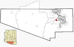 Lage im County und in Arizona | |
| Basisdaten | |
| Staat: | Vereinigte Staaten |
| Bundesstaat: | Arizona |
| County: | Pima County |
| Koordinaten: | 32° 8′ N, 111° 7′ W |
| Zeitzone: | Mountain Standard Time (UTC−7) |
| Einwohner: | 14.101 (Stand: 2020) |
| Fläche: | 24,9 km² (ca. 10 mi²) davon 24,9 km² (ca. 10 mi²) Land |
| FIPS: | 04-78760 |
| GNIS-ID: | 2409391 |
This article is issued from Wikipedia. The text is licensed under Creative Commons - Attribution - Sharealike. The authors of the article are listed here. Additional terms may apply for the media files, click on images to show image meta data.