Uus Nootamaa
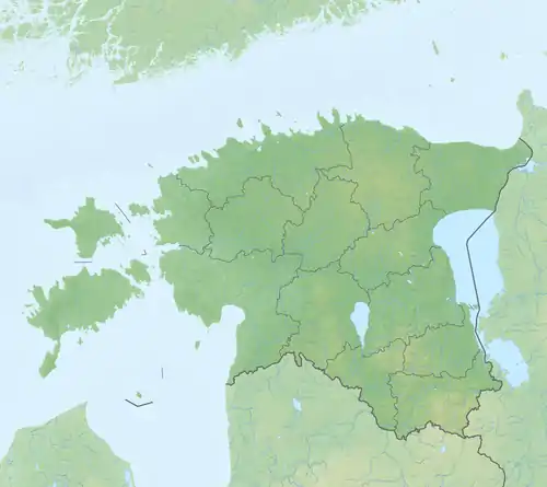
Uus Nootamaa ist eine unbewohnte Insel, 2,9 Kilometer von der größten estnischen Insel Saaremaa entfernt. Die Insel liegt in der Landgemeinde Saaremaa im Kreis Saare. Sie gehört zum Nationalpark Vilsandi.[1]
| Uus Nootamaa | ||
|---|---|---|
| Gewässer | Ostsee | |
| Inselgruppe | Moonsund-Inseln | |
| Geographische Lage | 58° 19′ 21″ N, 21° 47′ 16,8″ O | |
| ||
| Länge | 160 m | |
| Breite | 80 m | |
| Einwohner | unbewohnt | |
Uus Nootamaa ist 160 Meter lang und 80 Meter breit.
Einzelnachweise
- X-GIS gis.maaamet.ee (englisch). Zuletzt abgerufen am 19. April 2018
This article is issued from Wikipedia. The text is licensed under Creative Commons - Attribution - Sharealike. The authors of the article are listed here. Additional terms may apply for the media files, click on images to show image meta data.