Usarkopf
Der Usarkopf ist eine 725,4 m ü. NN[1] hohe Erhebung des Idarwaldes (Hunsrück) in den Landkreisen Bernkastel-Wittlich und Birkenfeld in Rheinland-Pfalz.
| Usarkopf | ||
|---|---|---|
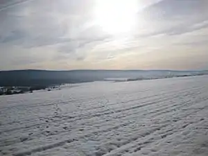
Usarkopf im Hauptkamm des Idarwalds | ||
| Höhe | 725,4 m ü. NN [1] | |
| Lage | Landkreise Bernkastel-Wittlich und Birkenfeld; Rheinland-Pfalz, Deutschland | |
| Gebirge | Idarwald (Hunsrück) | |
| Koordinaten | 49° 46′ 57″ N, 7° 8′ 15″ O | |
| ||
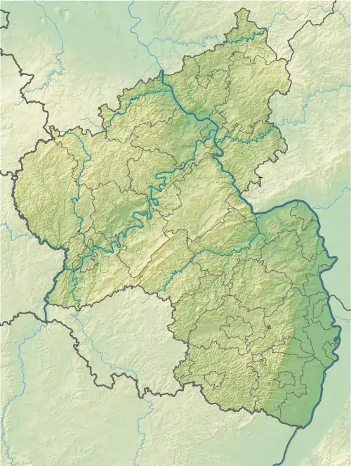
Er liegt südlich von Morbach (Landkreis Bernkastel-Wittlich) an der Gemarkungsgrenze zu Wirschweiler (Landkreis Birkenfeld).
Einzelnachweise
- Kartendienst des Landschaftsinformationssystems der Naturschutzverwaltung Rheinland-Pfalz (LANIS-Karte) (Hinweise)
This article is issued from Wikipedia. The text is licensed under Creative Commons - Attribution - Sharealike. The authors of the article are listed here. Additional terms may apply for the media files, click on images to show image meta data.