Urukthapel-Inseln
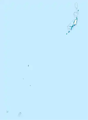
Die Urukthapel-Inseln, auch Ngeruktabel genannt, sind eine Inselgruppe der westpazifischen Inselrepublik Palau. Sie gehören zum Archipel der Chelbacheb-Inseln (Rock Islands) und liegen vier Kilometer südwestlich der Insel Koror und drei Kilometer westlich der Ulebsechel-Inseln.
| Urukthapel-Inseln | ||
|---|---|---|
 Chelbacheb-Inseln | ||
| Gewässer | Pazifischer Ozean | |
| Archipel | Palauinseln, Chelbacheb-Inseln | |
| Geographische Lage | 7° 16′ N, 134° 24′ O | |
| ||
| Anzahl der Inseln | ca. 80 | |
| Hauptinsel | Ngeruktabel | |
| Gesamte Landfläche | ca. 25 km² | |
| Einwohner | unbewohnt | |
Die Gruppe besteht aus über 80 dicht bewaldeten Inseln. Mit Abstand größte der Inseln ist die Hauptinsel Urukthapel (Ngeruktabel), mit einer Fläche von 19,09 km².[1] Sämtliche Inseln sind unbewohnt.
Einzelnachweise
- Edwin Horace Bryan: Guide to place names in the Trust Territory of the Pacific Islands: (the Marshall, Caroline and Mariana Islands) (Paperback). Honolulu: Pacific Scientific Information Center, 1971 (Originalangabe 7.37 sq. mi.)
This article is issued from Wikipedia. The text is licensed under Creative Commons - Attribution - Sharealike. The authors of the article are listed here. Additional terms may apply for the media files, click on images to show image meta data.
