Te Hapua
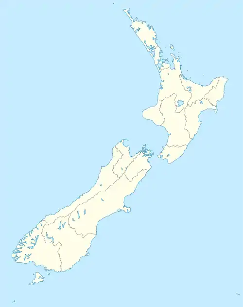
Te Hapua ist eine kleine Siedlung im Far North District der Region Northland auf der Nordinsel von Neuseeland.
| Te Hapua | ||
| Geographische Lage | ||
| ||
| Koordinaten | 34° 31′ S, 172° 55′ O | |
| Region-ISO | NZ-NTL | |
| Staat | ||
| Region | Northland | |
| Distrikt | Far North District | |
| Ward | Te Hiku Ward | |
| Einwohner | wenige | |
| Höhe | 14 m | |
| Postleitzahl | 0484 | |
| Telefonvorwahl | +64 (0)9 | |
| Fotografie des Ortes | ||
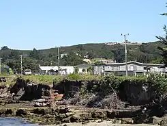 Te Hapua | ||
Geographie
Die Siedlung liegt nördlich der Snipe Bay, eines der Arme des Parengarenga Harbour. Der Ort ist über Waitiki Landing vom etwa 7 km südwestlich gelegenen New Zealand State Highway 1 aus erreichbar. Die nächstgelegene Siedlung ist Paua auf der Südseite der Snipe Bay. Die nächste größere Siedlung ist Te Kao etwa 30 km südlich und die nächstgelegene Stadt Kaitaia, liegt rund 80 km südlich.[1]
Einzelnachweise
- Topo250 maps - Cape Reinga. Land Information New Zealand, abgerufen am 18. April 2017 (englisch).
This article is issued from Wikipedia. The text is licensed under Creative Commons - Attribution - Sharealike. The authors of the article are listed here. Additional terms may apply for the media files, click on images to show image meta data.